GLOFCA installs risk information boards in Talgar and Esik, Kazakhstan

In Almaty Region, the project “Reducing vulnerabilities of populations in Central Asia region from glacier lake outburst floods in a changing climate” (GLOFCA), implemented by UNESCO with support from the Adaptation Fund, has completed the installation of risk information boards and hazard maps in the Talgar and Esik river basins, two of the project’s pilot sites.
Both rivers originate from the Ile-Alatau mountains and flow through several settlements, serving as important recreational and tourism areas. These territories are classified as high-risk zones due to the presence of moraine lakes, steep terrain, and frequent debris-flow activity.
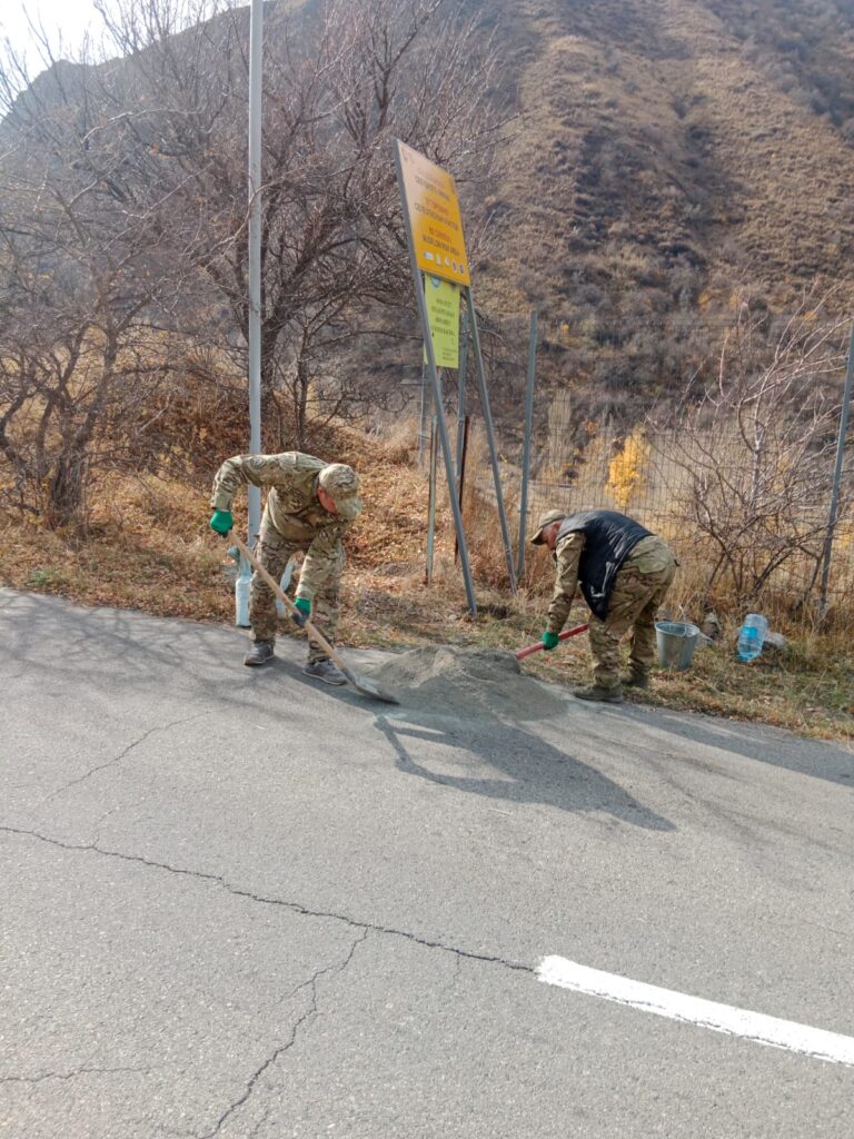
To enhance public awareness and improve preparedness, GLOFCA installed warning signs and risk-map boards at each pilot site. The signs provide clear and accessible guidance for residents, hikers, and tourists on local natural hazards and recommended safety measures.
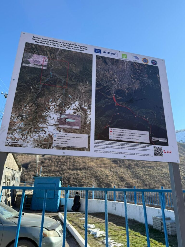
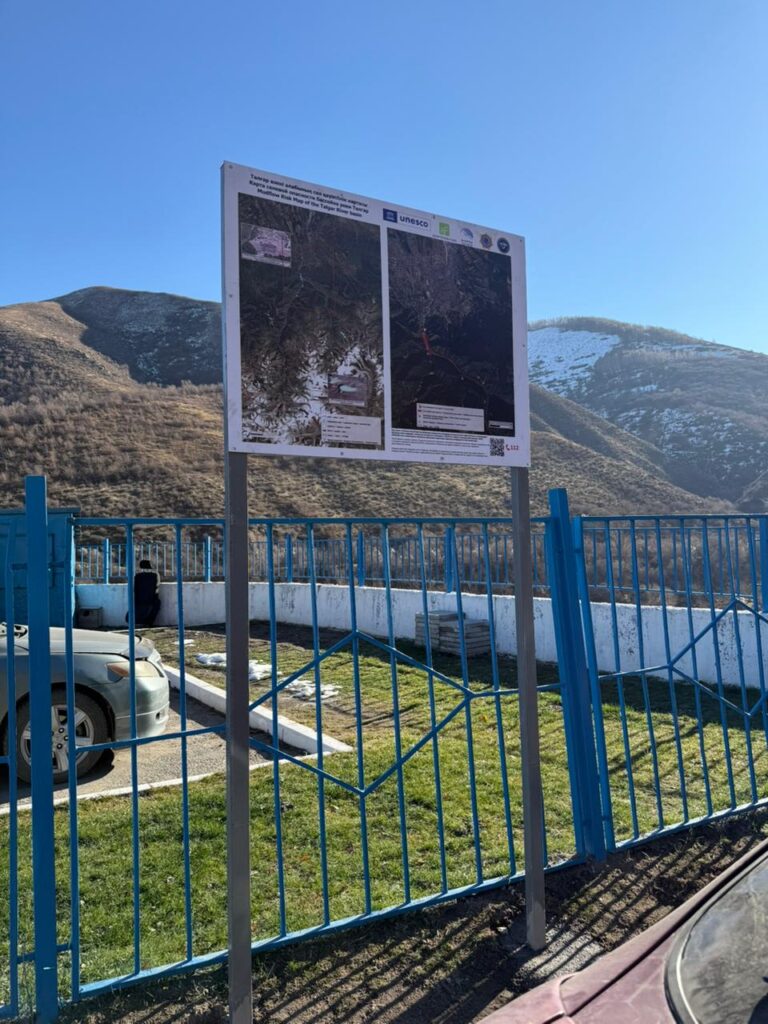
The glacier lake outburst flood (GLOF) risk maps were developed by experts from the University of Zurich. They modelled the potential impact zones under several scenarios. These maps serve as an important tool for local authorities, emergency services, and visitors to better understand and manage the risks.
The installation of the boards complements recent engineering and risk-reduction measures carried out under the GLOFCA project in Talgar and Esik, contributing to stronger community resilience and improved risk communication in the region.
Read more

Training on disaster risk reduction held in Tuura-Suu village, Kyrgyz Republic

Kazselezashchita specialists strengthen skills in modern methods for assessing mountain lake hazards
