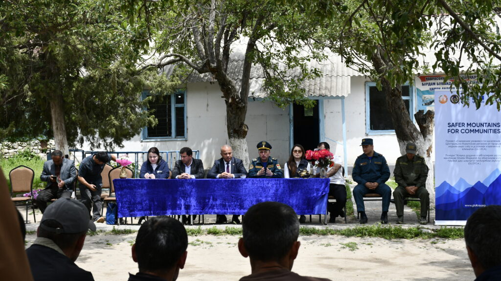
The GLOFCA project hands over an improved alternative road to strengthen disaster resilience in Lakhsh District
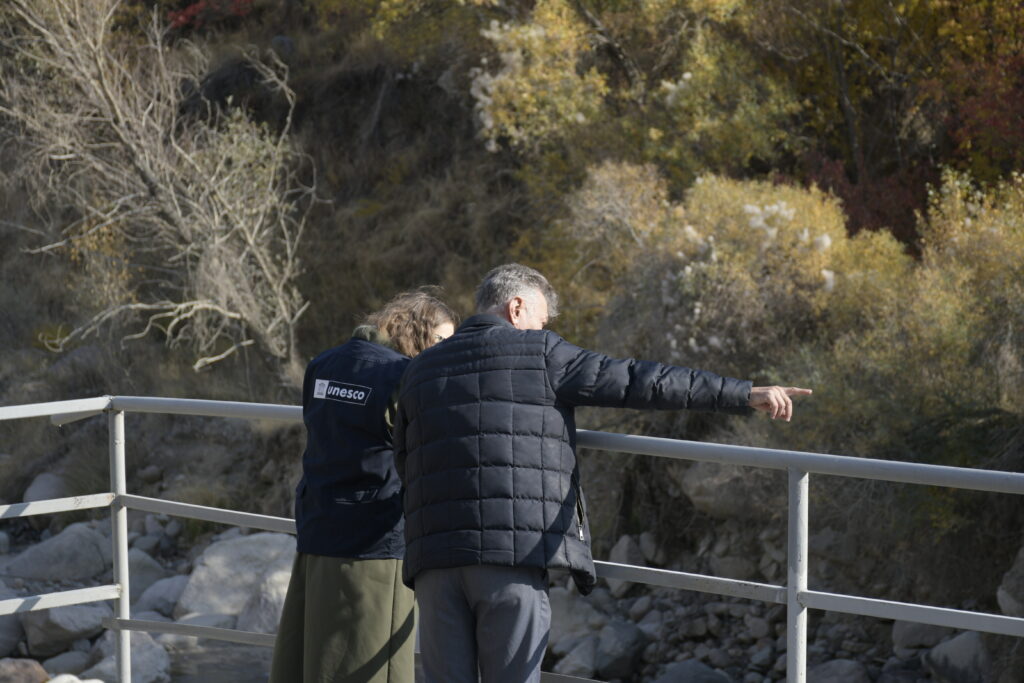
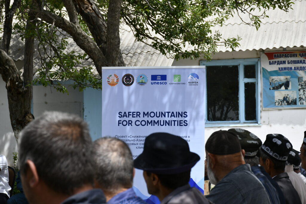
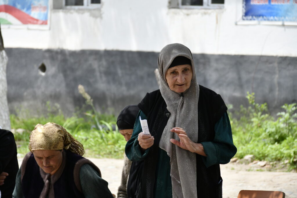
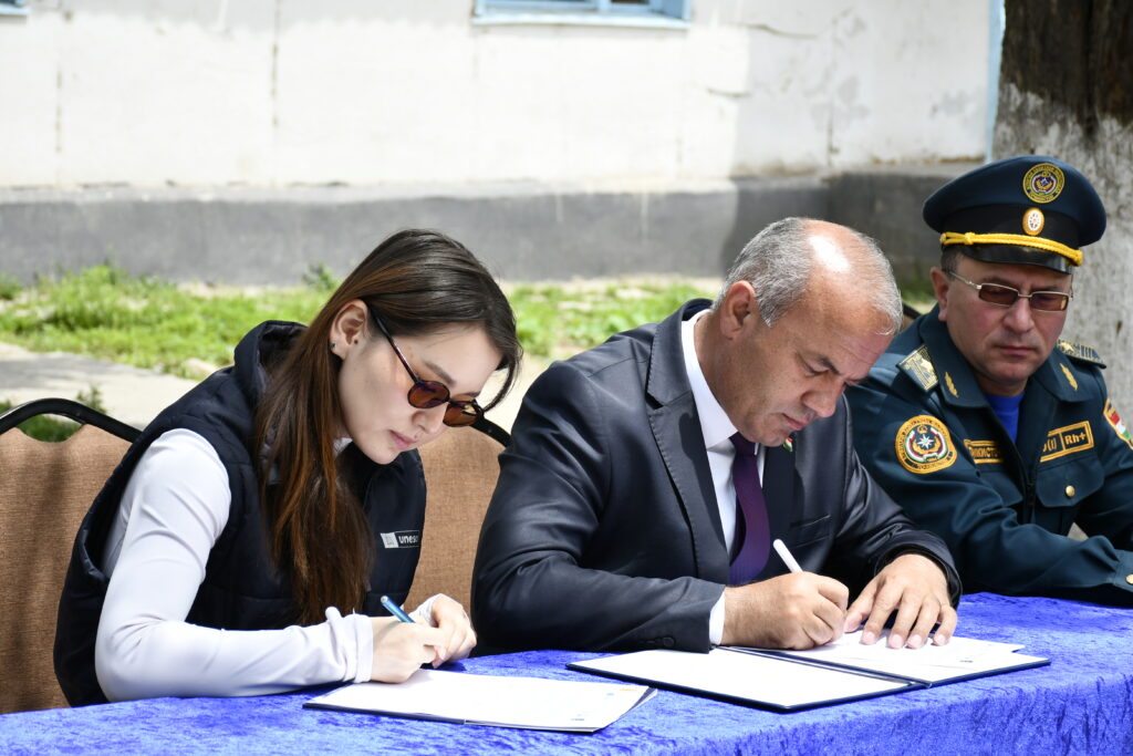
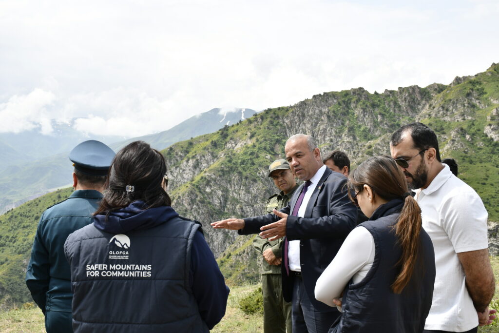
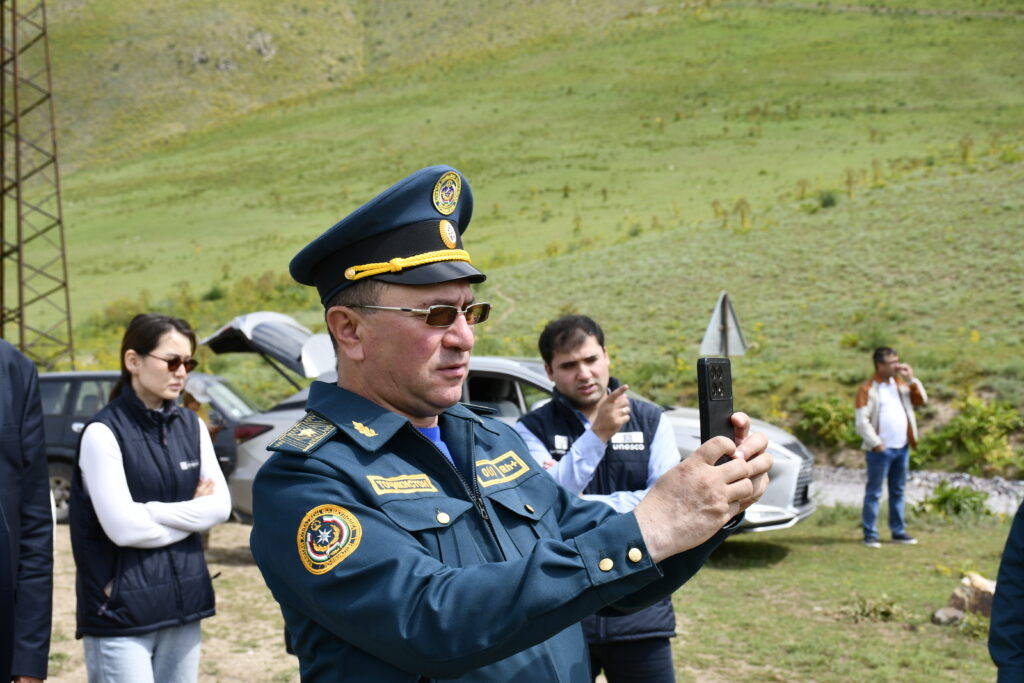
On 4 June 2026, an official handover ceremony was held in Lakhsh District, Republic of Tajikistan, for the improved alternative road between the villages of Korvonguzar and Duagba. The works were carried out under the regional project “Reducing vulnerabilities of populations in Central Asia from glacier lake outburst floods in a changing climate” (GLOFCA), implemented by the UNESCO Regional Office in Almaty with support from the Adaptation Fund.
The road improvement project was implemented in cooperation with the Committee of Emergency Situations and Civil Defence under the Government of the Republic of Tajikistan, the Agency for Hydrometeorology under the Committee for Environmental Protection of the Republic of Tajikistan, and the Executive Body of State Authority of Lakhsh District.
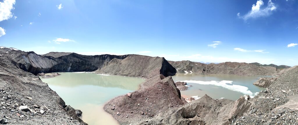
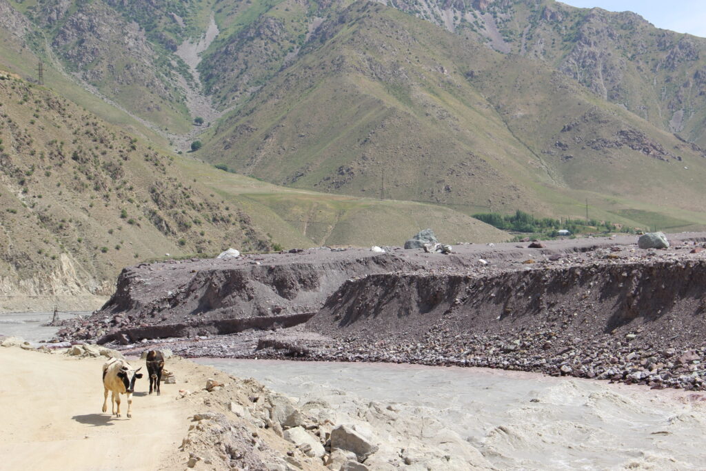
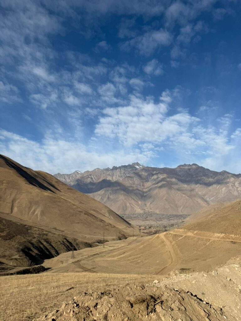
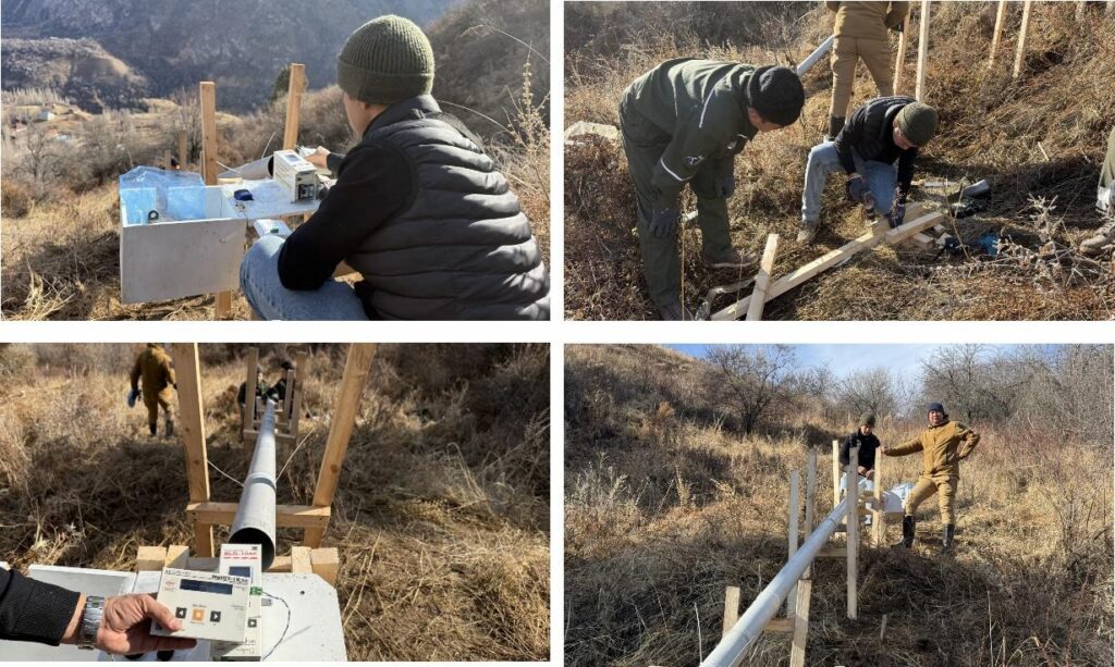
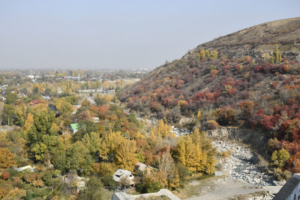
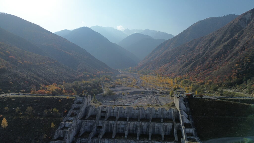
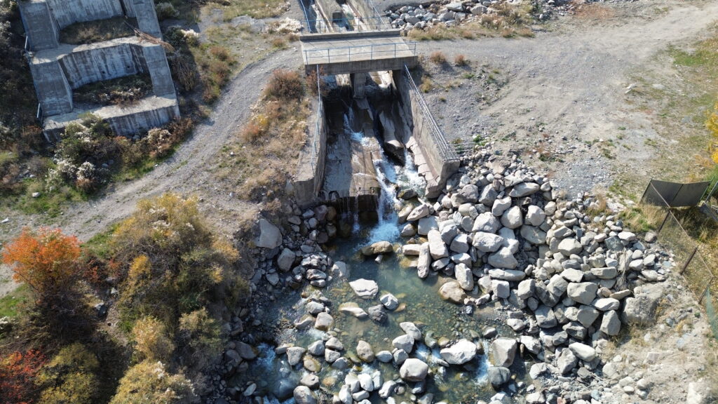
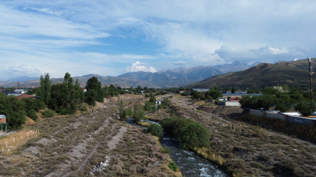
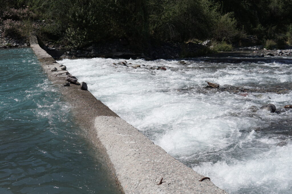
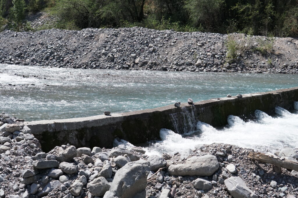
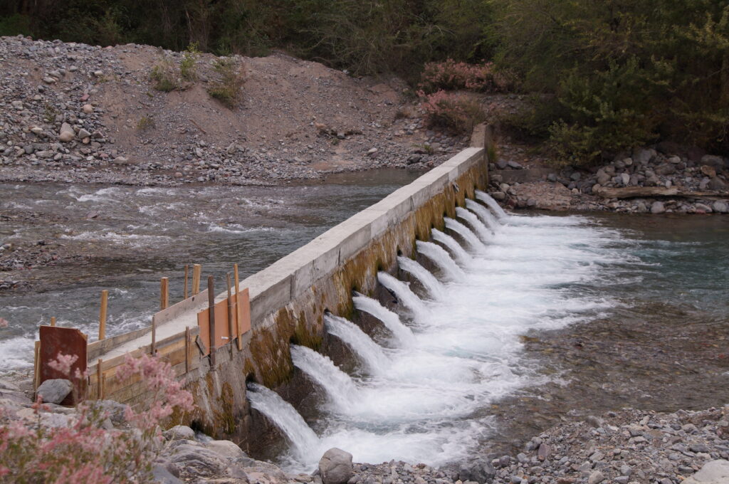
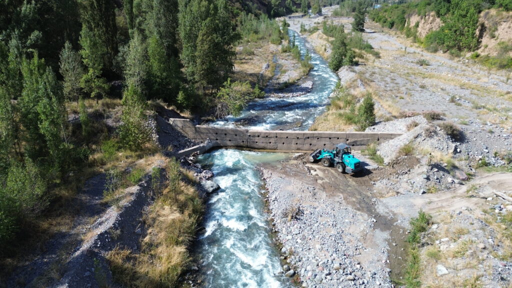
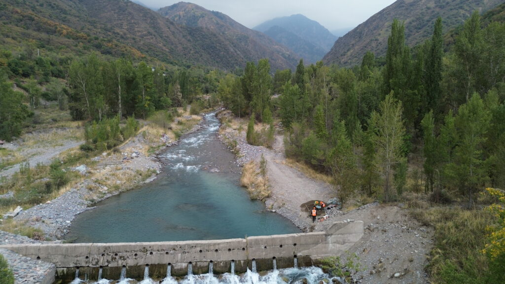
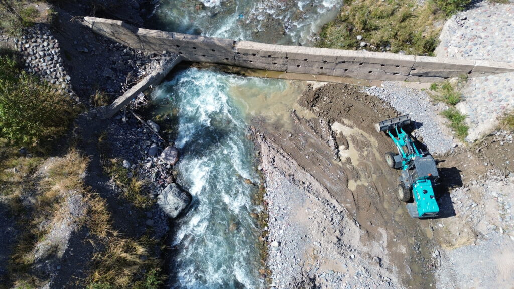
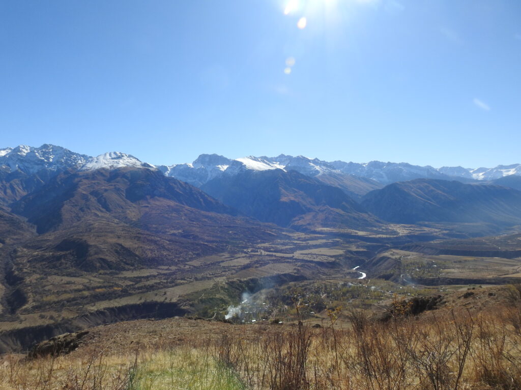
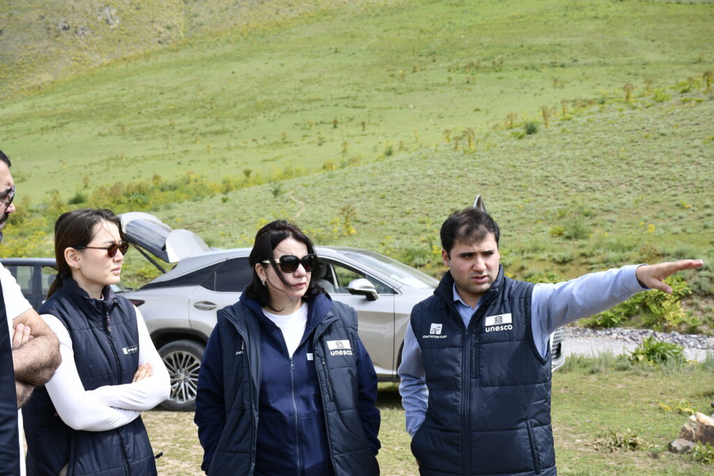
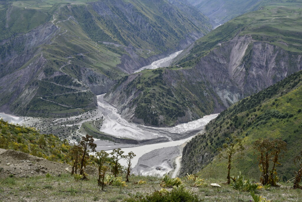
Lakhsh District is exposed to debris flows, landslides and floods. Glacial lakes are located in the upper reaches of the district, including on Said Nafisi Glacier, formerly known as Baralmos. Outbursts from these lakes periodically damage infrastructure, including sections of the main road along the Surkhob River.
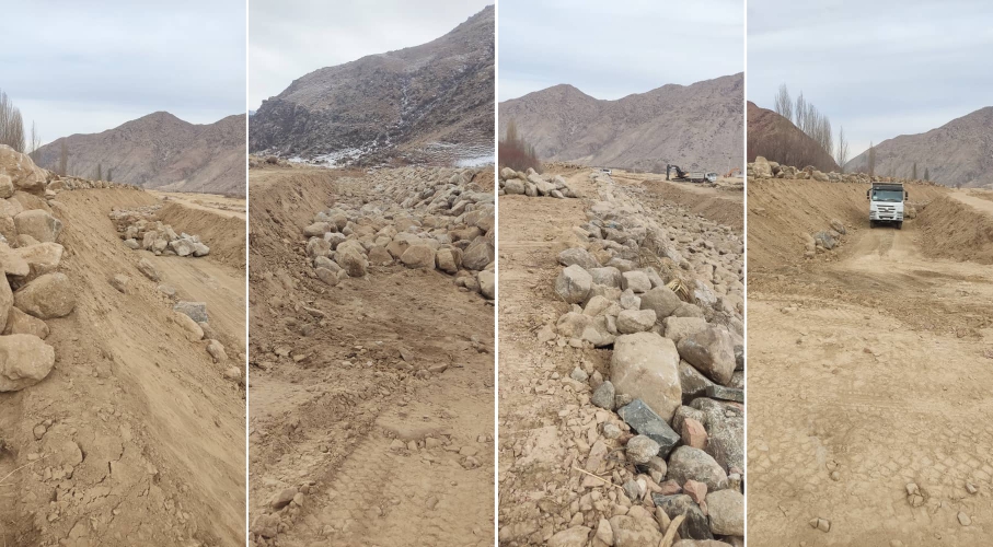
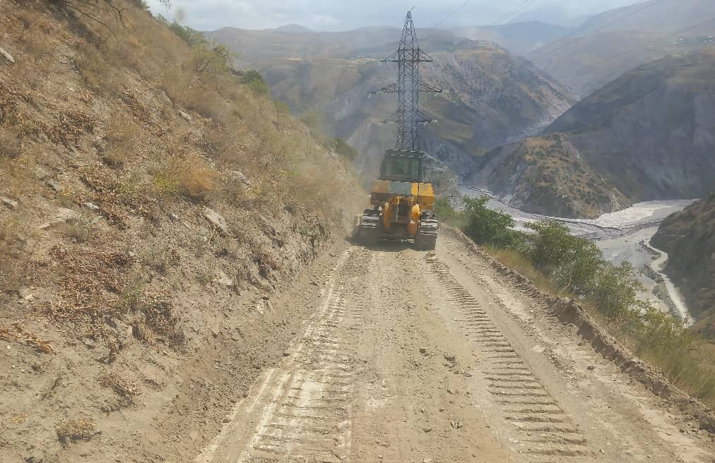
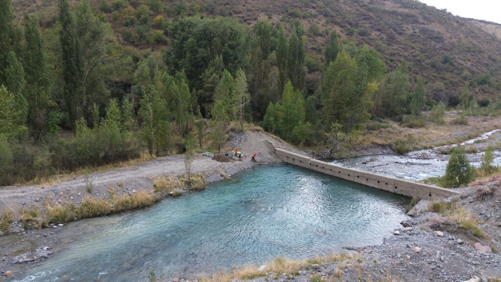
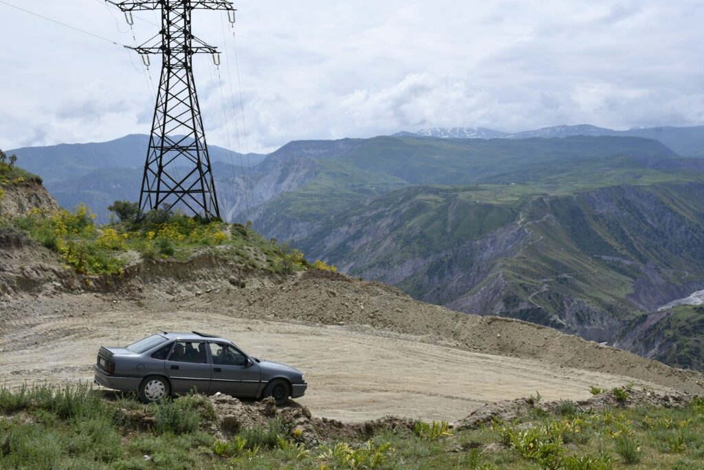
In such situations, the alternative route is critical for local residents, emergency services and connectivity between settlements. Before the works were carried out, the road was in poor condition and did not provide safe passage, particularly during difficult weather conditions.
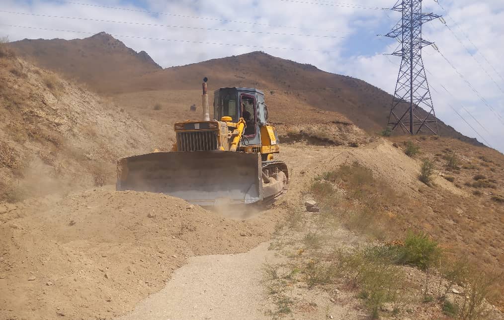
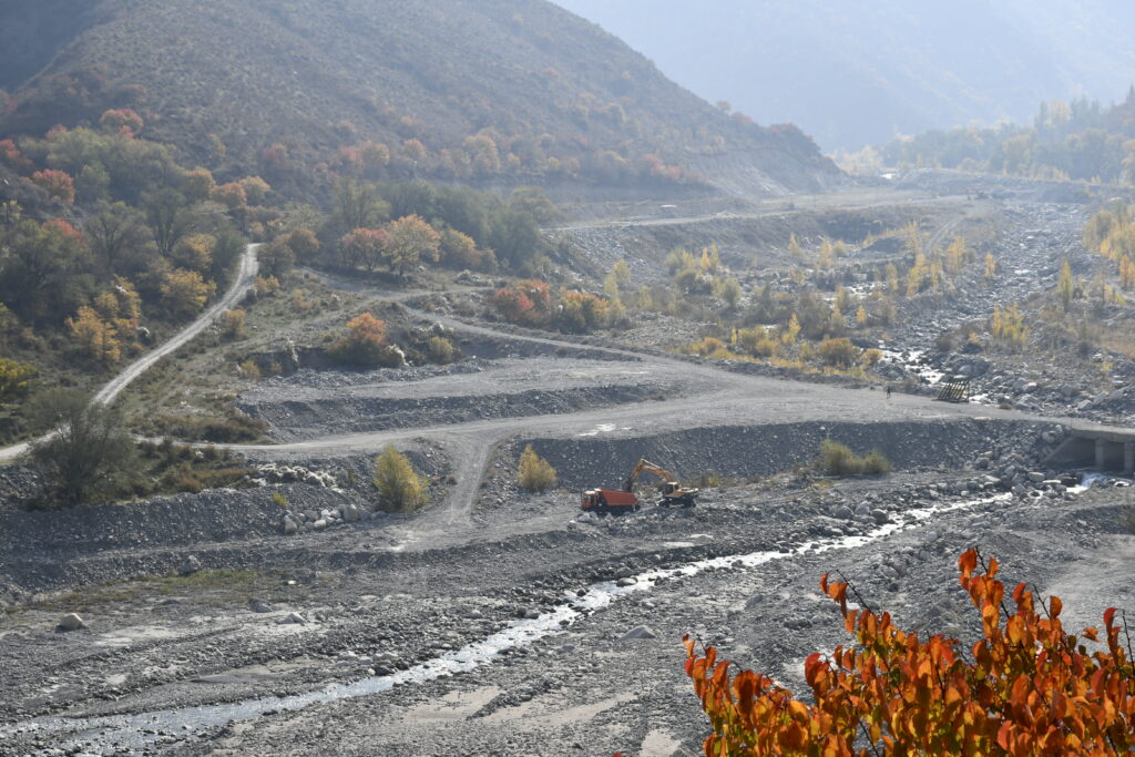
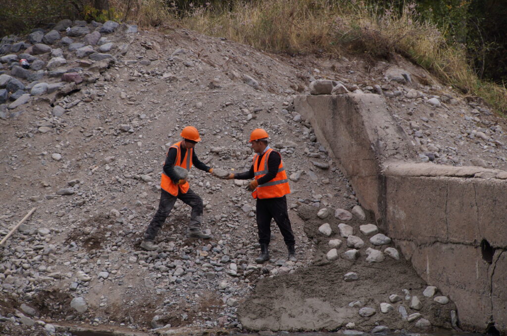
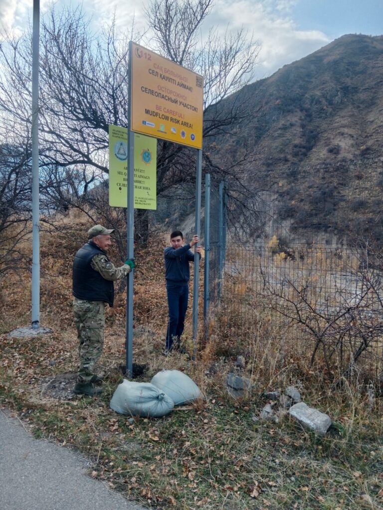
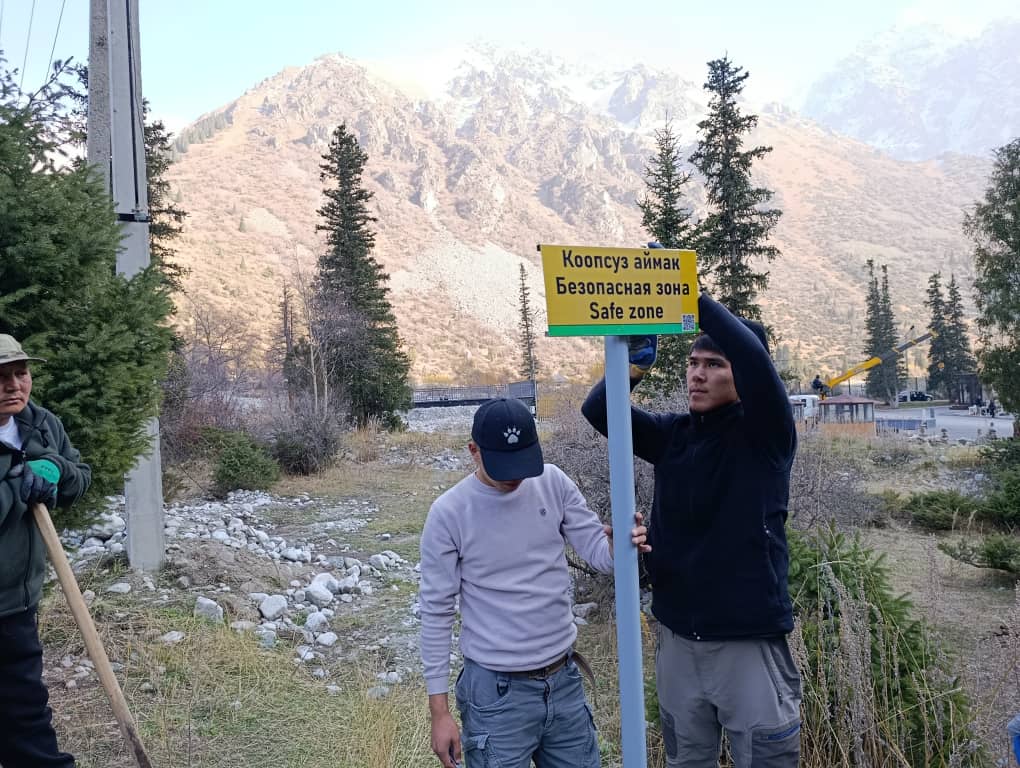
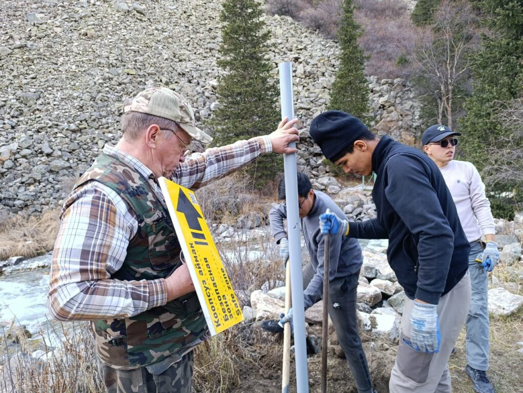
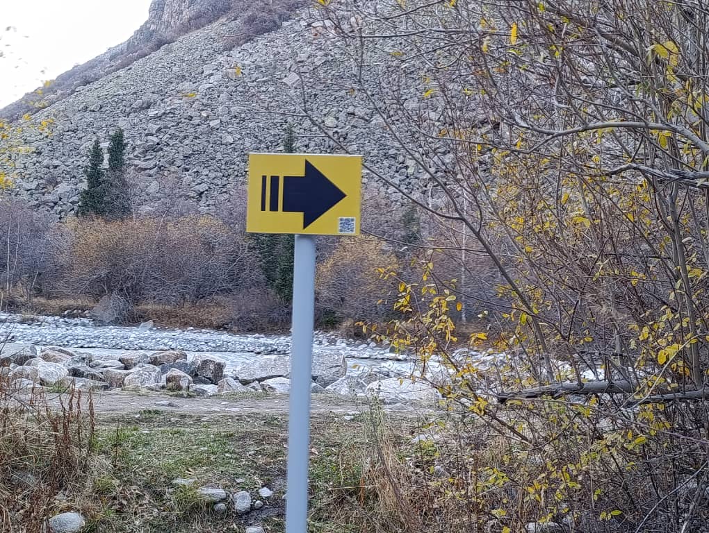
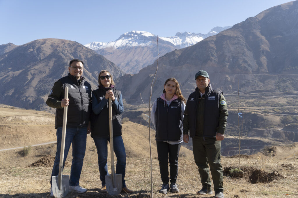
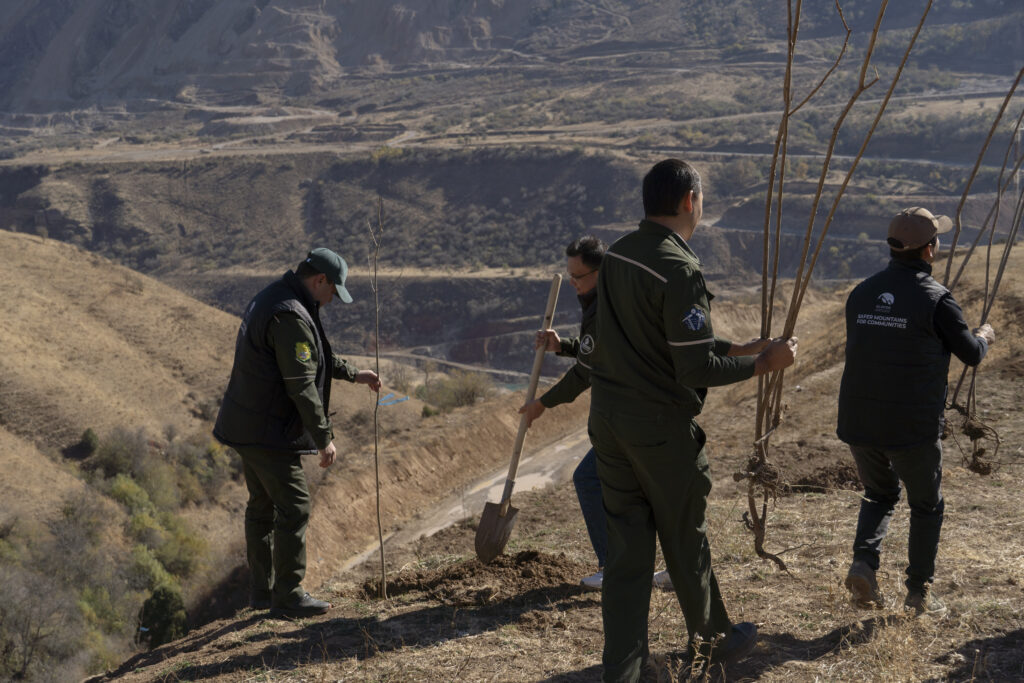
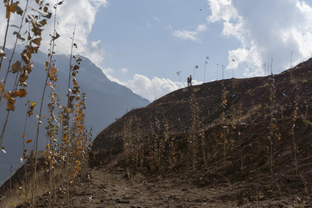
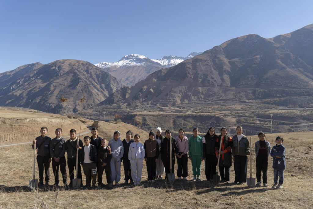
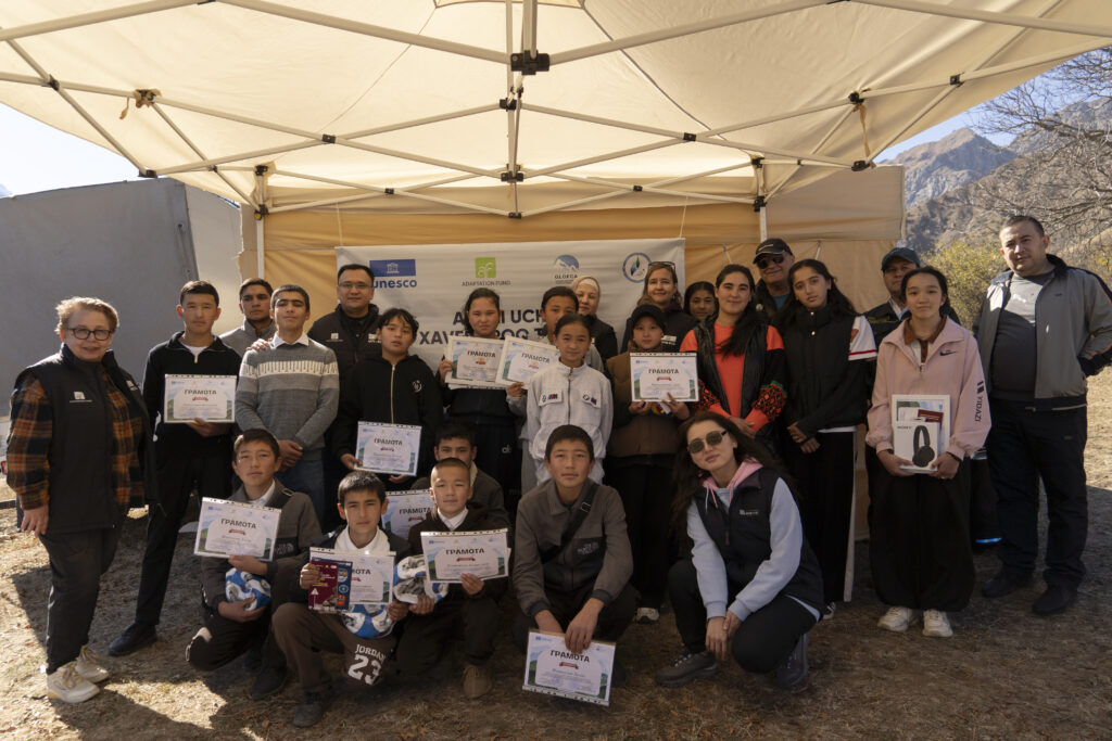
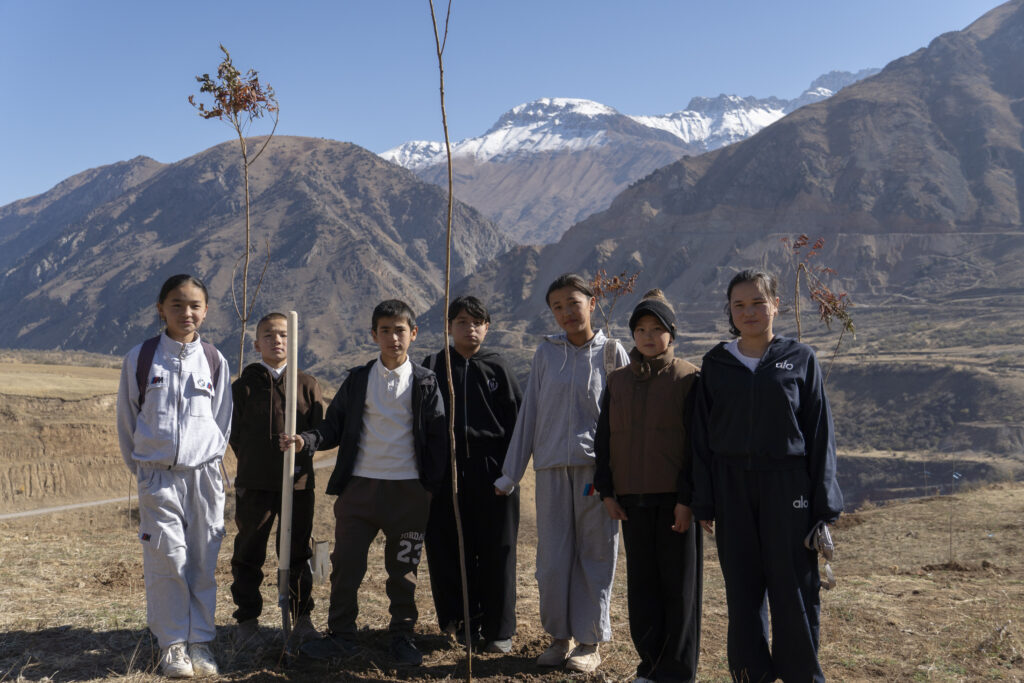
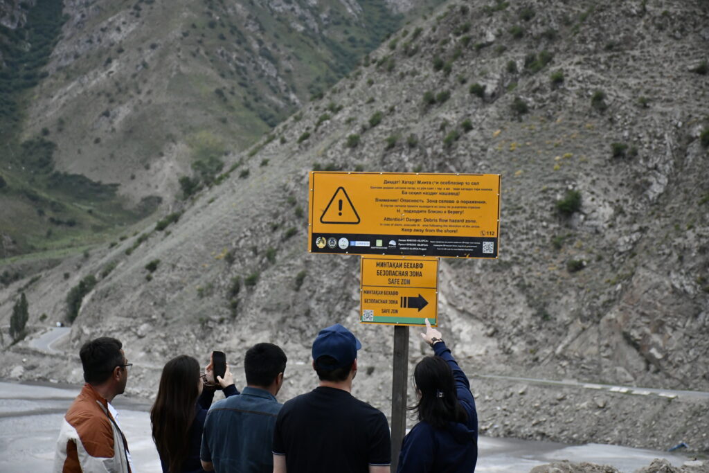
The project improved the most vulnerable sections of the road. The works included widening the carriageway, levelling 9 km of road surface, laying gravel and constructing drainage infrastructure to reduce the risk of erosion caused by meltwater and rainfall. A total of 154 tree seedlings were planted to stabilize the slopes, while 20 road signs and two information boards with risk maps were installed.
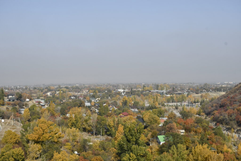
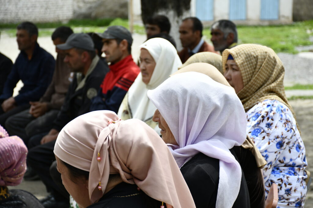
The improved alternative road will enhance transport safety and provide more reliable access for over 20 settlements in Lakhsh District, home to around 20,000 people. It will also strengthen the district’s preparedness for emergencies by helping maintain access to essential services when the main route is damaged or temporarily inaccessible.
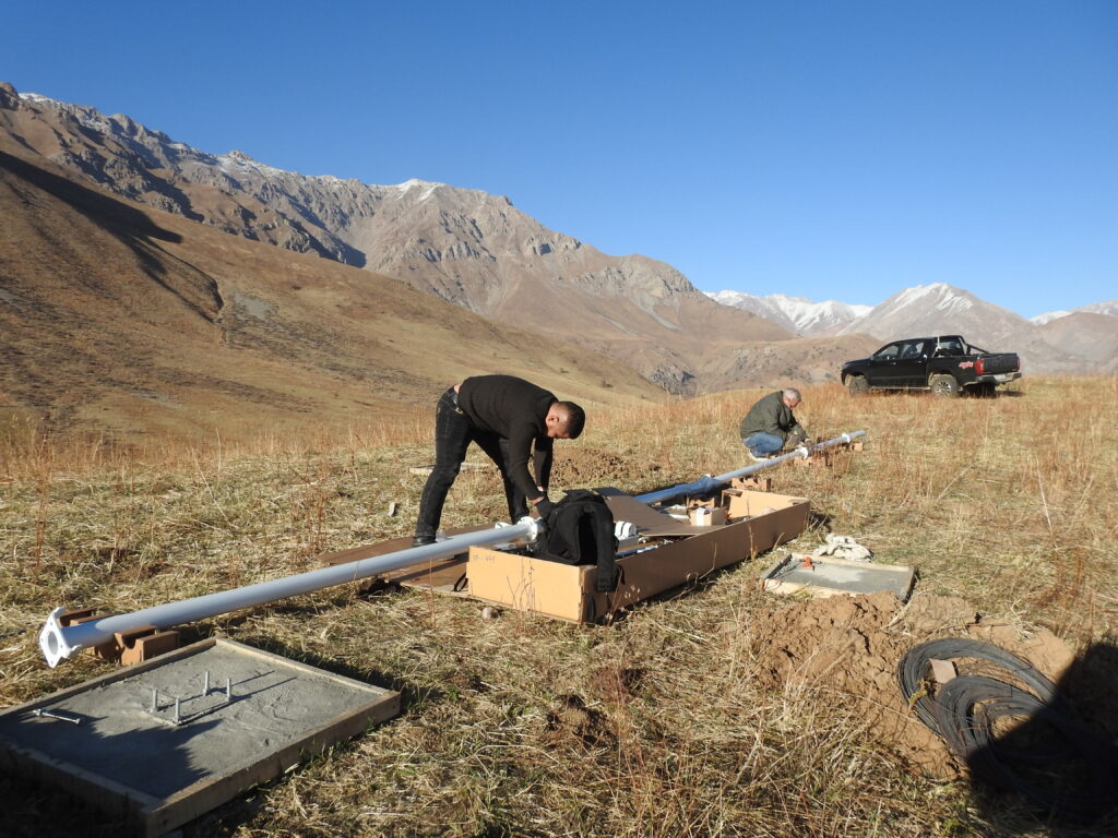
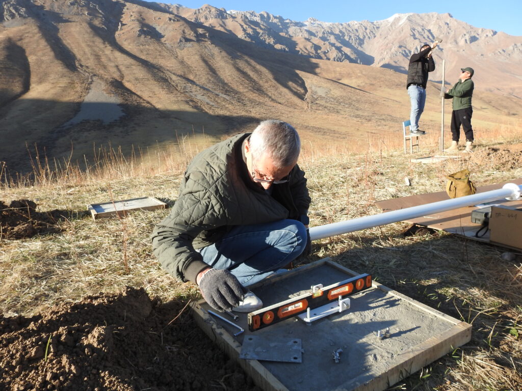
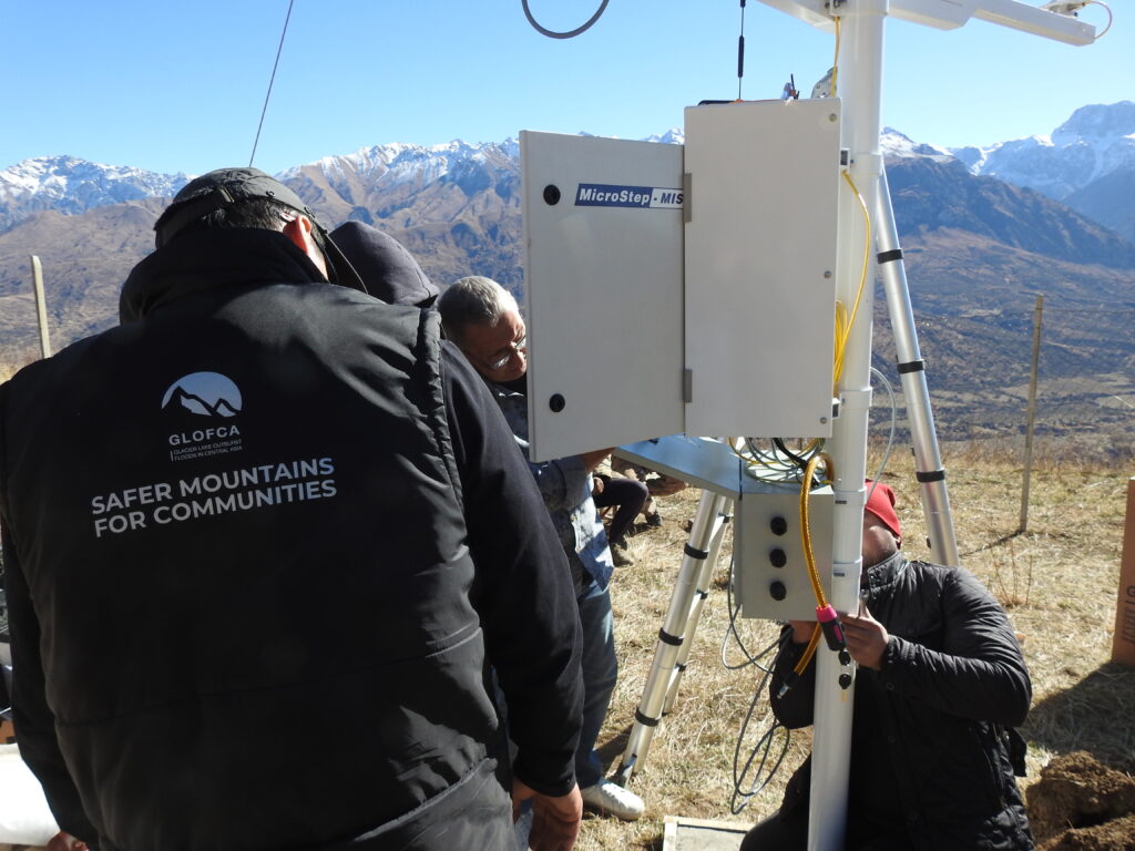
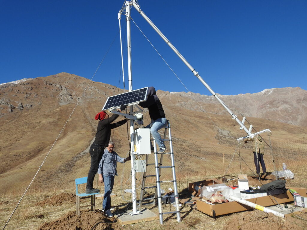
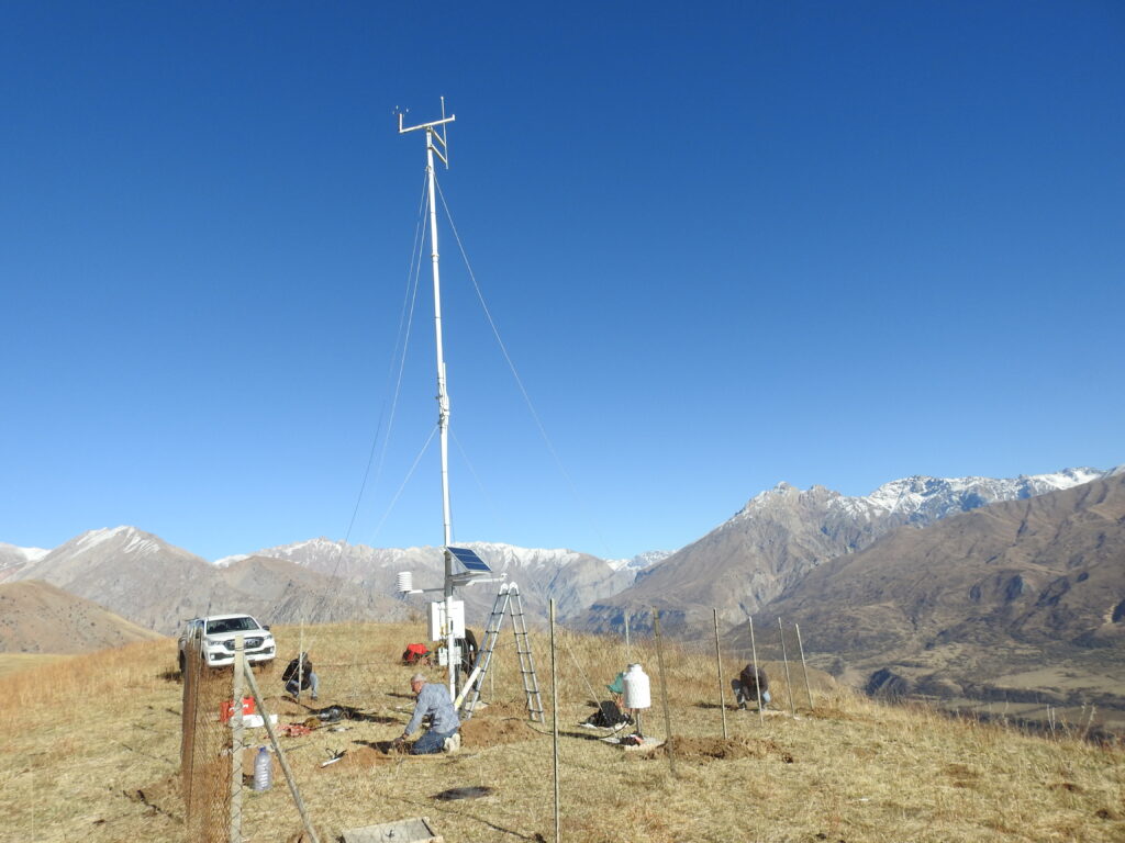
The regional GLOFCA project aims to reduce the vulnerability of populations in Central Asia to glacier lake outburst floods. In Tajikistan, Lakhsh District is the project’s pilot area, including the villages of Duagba, Korvonguzar and Dashtimurgon. The project supports glacier lake monitoring, community preparedness and practical measures to reduce disaster risks in mountainous areas.