Across Central Asia

Talgar River Basin
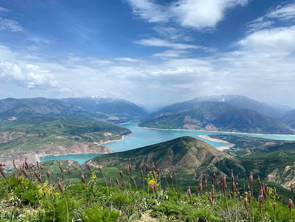
The Talgar River is the main water artery of the Talgar district, playing a crucial role in the region’s economy. The river basin is located in the Ile Alatau mountains, characterized by a complex mountainous terrain. The northern slope of the basin consists of several ridges that serve as watersheds for mountain rivers. The main rivers in the basin—Right, Middle, and Left Talgar—originate from the slopes of Ile Alatau. The basin’s catchment area is situated in a significant glaciation center known as the Talgar Mountain Knot, home to 129 glaciers covering a total area of 98.063 km². The Talgar River Basin covers a catchment area of 444.5 km², with the Left Talgar accounting for 273 km², the Middle for 103 km², and the Right Talgar for 68.5 km². The Talgar River basin has a catchment area of 444.5 km², with the Left Talgar accounting for 273 km², the Middle Talgar 103 km², and the Right Talgar 68.5 km².
Talgar River Basin
The Talgar River is the main water artery of the Talgar district, playing a crucial role in the region’s economy. The river basin is located in the Ile Alatau mountains, characterized by a complex mountainous terrain. The northern slope of the basin consists of several ridges that serve as watersheds for mountain rivers. The main rivers in the basin—Right, Middle, and Left Talgar—originate from the slopes of Ile Alatau. The basin’s catchment area is situated in a significant glaciation center known as the Talgar Mountain Knot, home to 129 glaciers covering a total area of 98.063 km². The Talgar River Basin covers a catchment area of 444.5 km², with the Left Talgar accounting for 273 km², the Middle for 103 km², and the Right Talgar for 68.5 km². The Talgar River basin has a catchment area of 444.5 km², with the Left Talgar accounting for 273 km², the Middle Talgar 103 km², and the Right Talgar 68.5 km².
Read more

GLOFCA Participates in High-Level Glacier Preservation Conference in Tajikistan
