
Pilot site 1 & 2
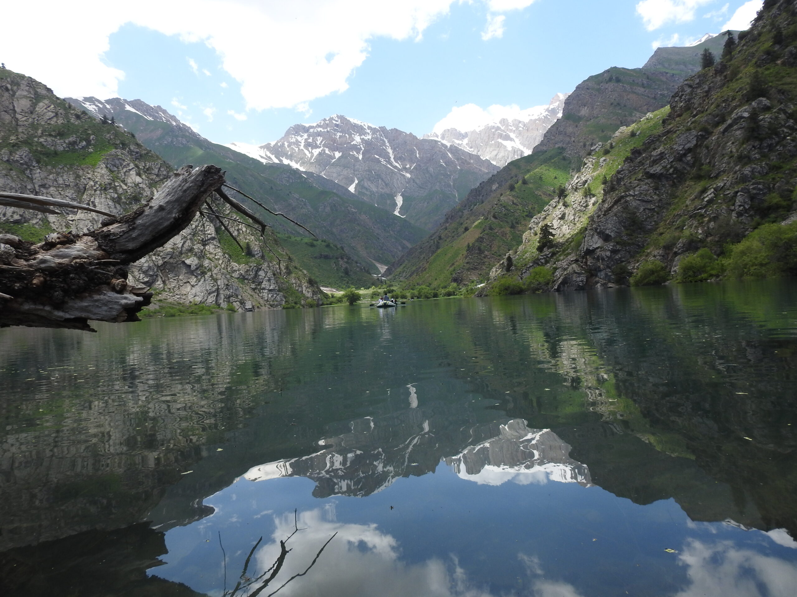
The two pilot sites of the project—Tepar and Pskem villages—are located in the middle reaches of the Pskem River, on its highest terrace. Pskem Village is the last populated settlement in the river valley, with beekeeping sites, national park checkpoints, border posts, and the Maidontal and Oigaing meteorological stations situated further upstream.
The population of Pskem Village is 1,035 people (420 women, 615 men, and 17 individuals with disabilities). The population of Tepar and Takayangak villages, which form one administrative unit, is 960 people (447 men, 486 women, and 15 individuals with disabilities).
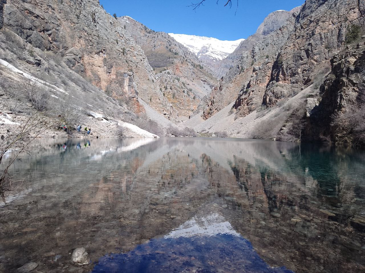
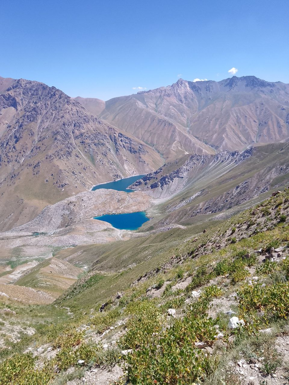
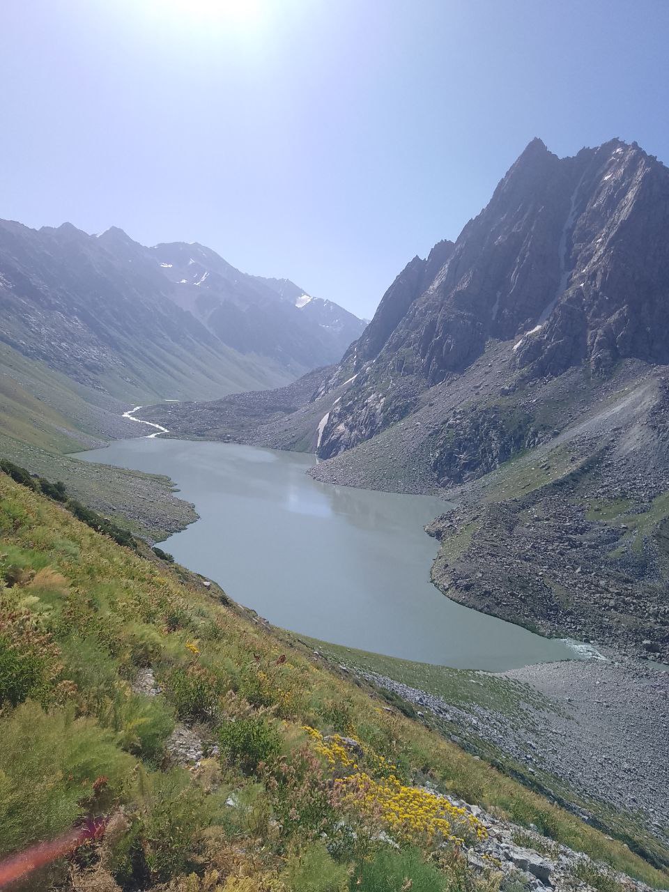
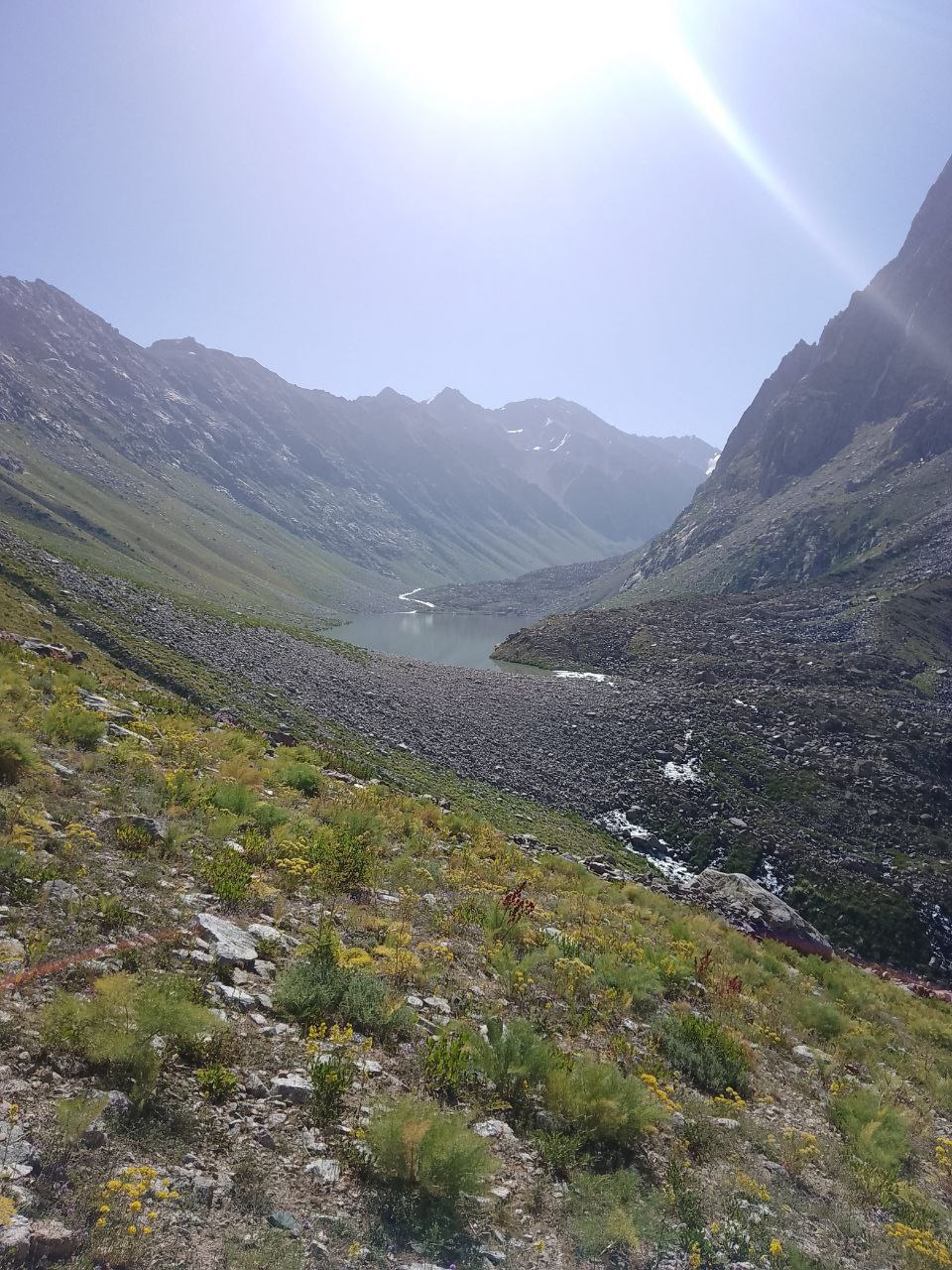
In the upper reaches of the Pskem River lie the glacial lakes Shavurkool and Ikhnach, with volumes of 4.5 million and 5 million cubic meters, respectively. The area is highly susceptible to active exogenous processes, including mudflows, landslides, and rockfalls.
The Pskem River Basin houses the Teparsai Hydropower Station, with the smaller Mulallinskaya Hydropower Station located downstream. In 2023, the construction of the Teparsai dam was completed, raising the water level by 160 meters and forming the Teparsai Reservoir, which spans approximately 20 kilometers and has a capacity of 500 million cubic meters. Additionally, the construction of the Taliksai Hydropower Station is underway, with the KarangitugaiHydropower Station planned for the future.
The construction activities, including blasting and transporting rock materials, as well as the development of major transport routes for delivering construction supplies, have disrupted the geological integrity of the terrain. This disruption can potentially activate ancient landslides with volumes of 20–30 million cubic meters and trigger new technogenic landslides.
Rockfalls into the Pskem River could generate waves capable of damaging downstream dams. The river’s maximum discharge exceeds 200 cubic meters per second. The region is also vulnerable to mudflows caused by rainfall, snowmelt, and glacial melt. These processes pose ongoing risks to personnel at construction sites and the increasing number of tourists visiting the area.
Rain-induced mudflows have been recorded in the Pskem River Valley, causing damage to infrastructure and partially blocking the riverbed. Although no outbursts from glacial or moraine-dammed lakes have occurred to date, there is potential risk, particularly from the lakes in the Ikhnachkul system and the moraine-dammed Shavurkool Lake.
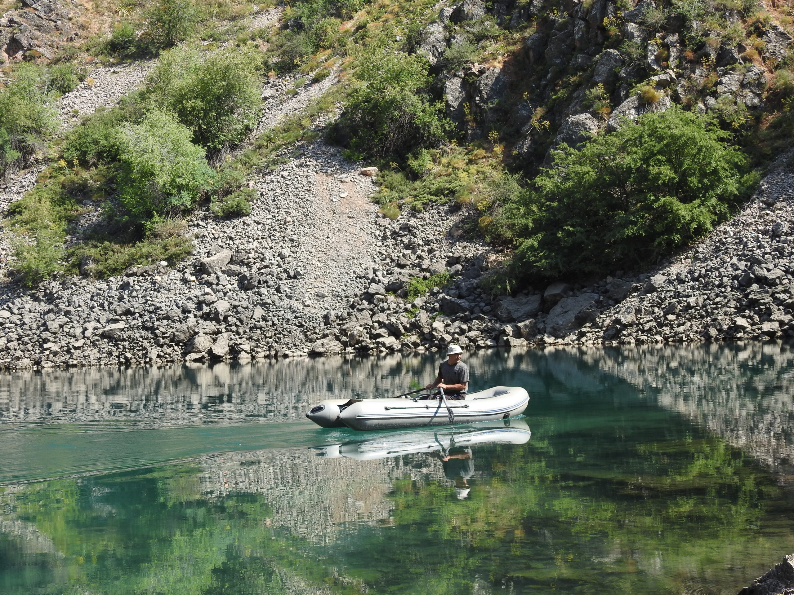
To mitigate risks, regular aerial and expedition surveys of the lakes in the Pskem River Basin are conducted by UZGIDROMET and the Institute of Geology and Geophysics. These include bathymetric and hydrometeorological observations.
The development of hydrotechnical infrastructure and the growth in tourism have significantly increased anthropogenic pressure on the region, emphasizing the need for additional disaster risk reduction measures.
In 2025, the GLOFCA project will begin installing modern monitoring equipment in the Pskem River basin. An automatic weather station and a video camera will be placed above the village of Pskem to track weather conditions and potential risks.
Field studies are also planned at five mountain lakes — Upper and Lower Urungach, Upper (Bolshoi) and Lower Ikhnach, and Shovurkul. These will include measurements of water level, temperature and mineralisation, bathymetric surveys, and water balance assessments. A network of temporary hydrological posts with data loggers will be set up on the inflowing and outflowing streams.
The results will help assess the stability of lake dams and the risks of their outburst. If an increased threat is identified, the installation of an early warning system will be considered. Additionally, equipment will be installed in the region to monitor landslide activity. The data collected will support risk assessment and mitigation, ensuring the safety of local communities and construction sites.