
Pilot site 1
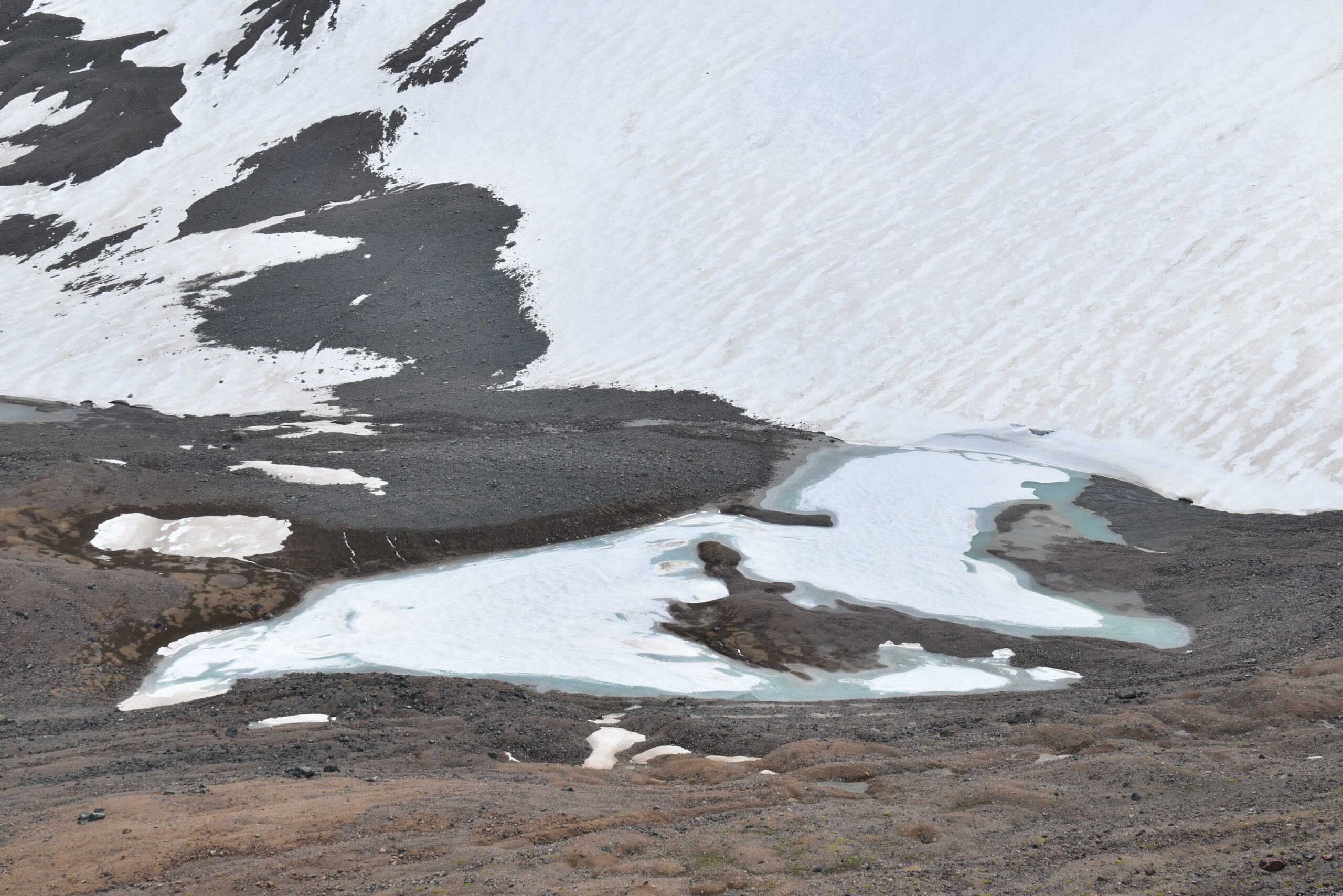
The Talgar River is the main water artery of the Talgar district, playing a crucial role in the region’s economy. The river basin is located in the Ile Alatau mountains, characterized by a complex mountainous terrain. The northern slope of the basin consists of several ridges that serve as watersheds for mountain rivers. The main rivers in the basin—Right, Middle, and Left Talgar—originate from the slopes of Ile Alatau. The basin’s catchment area is situated in a significant glaciation center known as the Talgar Mountain Knot, home to 129 glaciers covering a total area of 98.063 km². The Talgar River Basin covers a catchment area of 444.5 km², with the Left Talgar accounting for 273 km², the Middle for 103 km², and the Right Talgar for 68.5 km². The Talgar River basin has a catchment area of 444.5 km², with the Left Talgar accounting for 273 km², the Middle Talgar 103 km², and the Right Talgar 68.5 km².
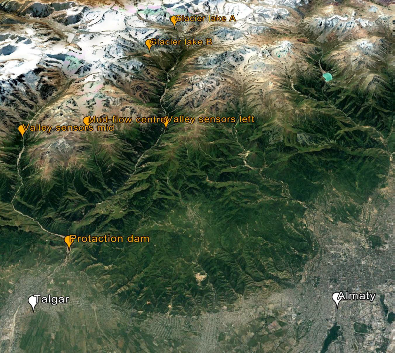
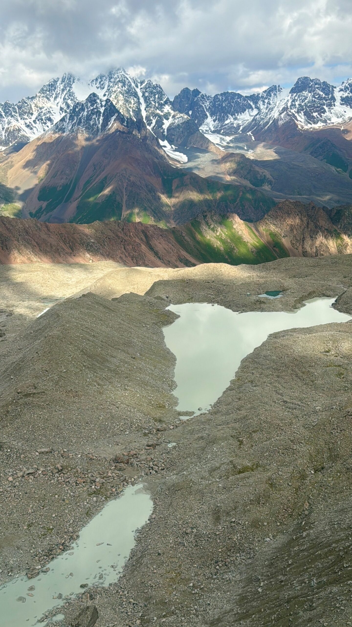
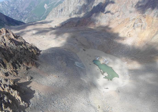
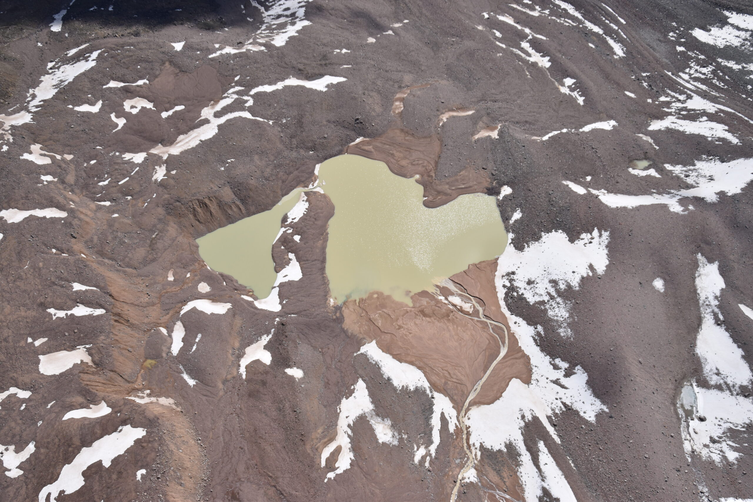
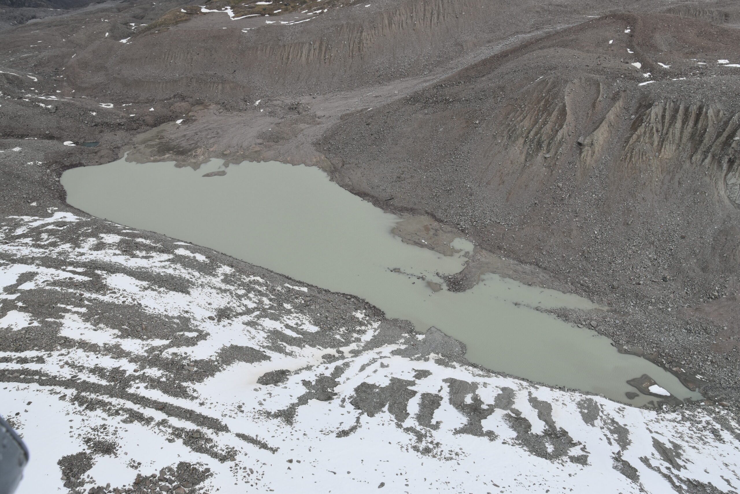
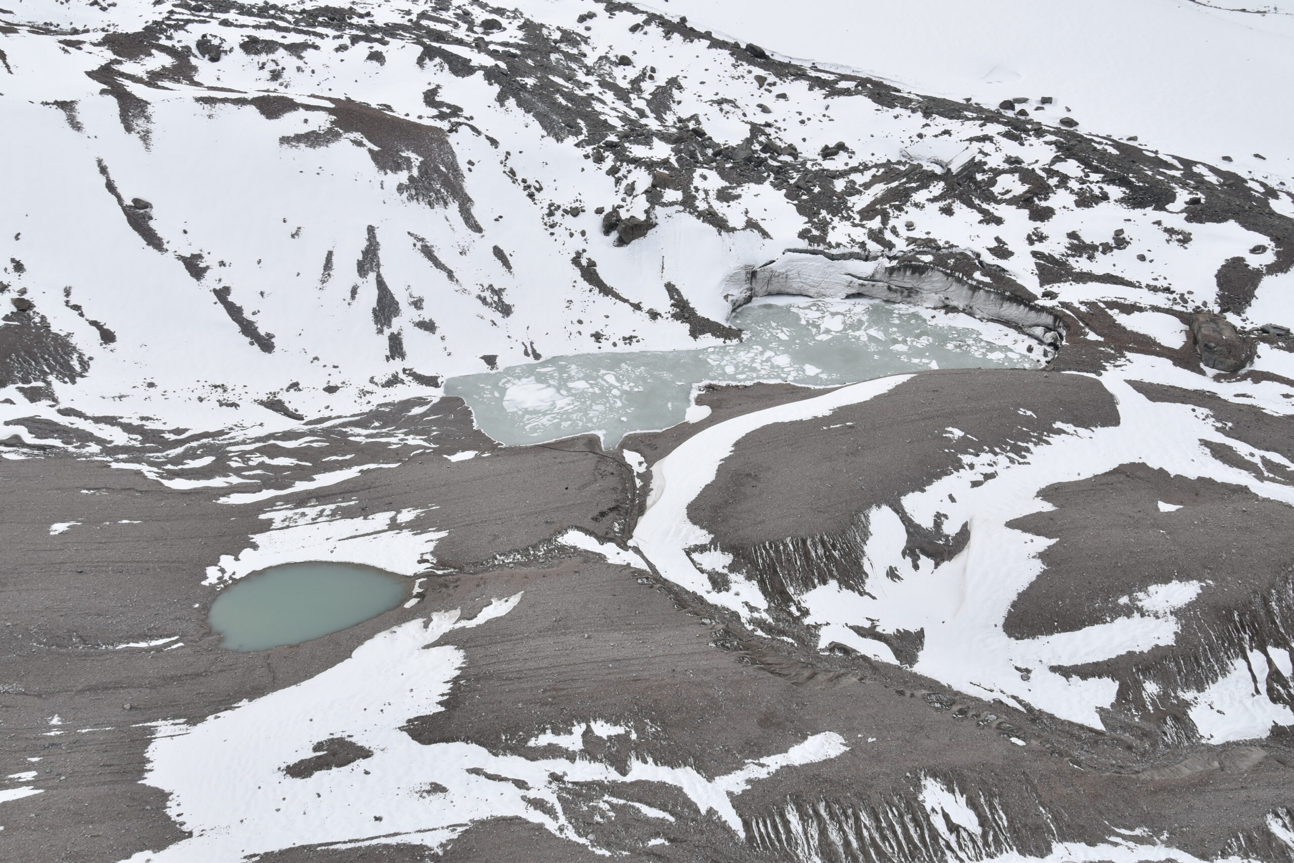
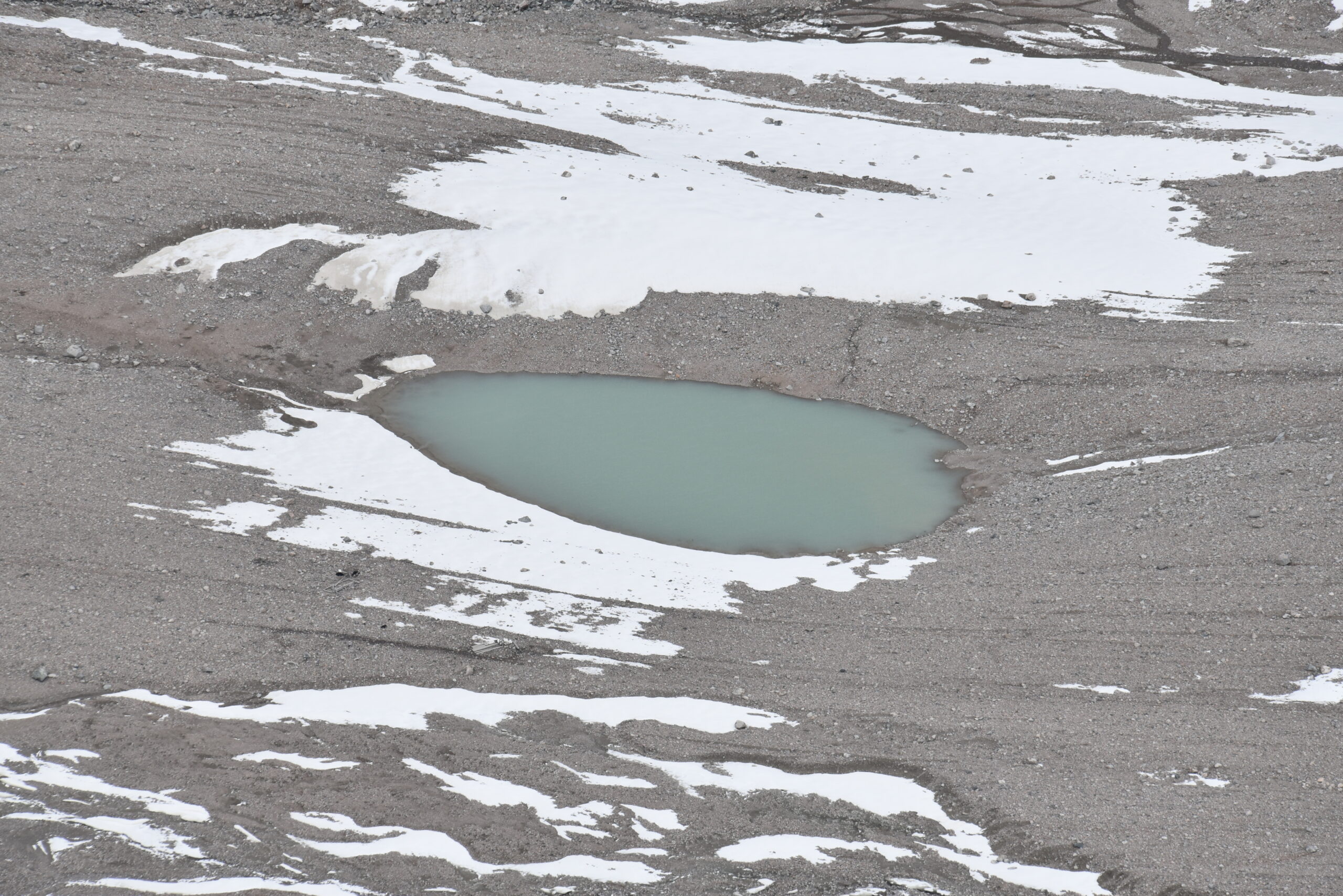
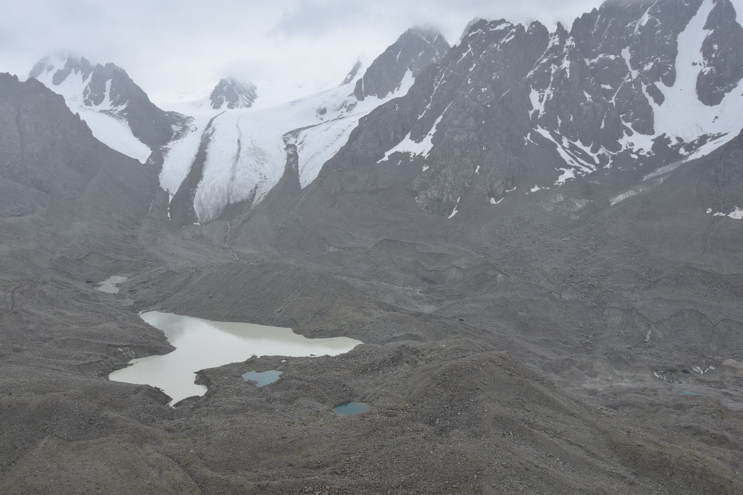
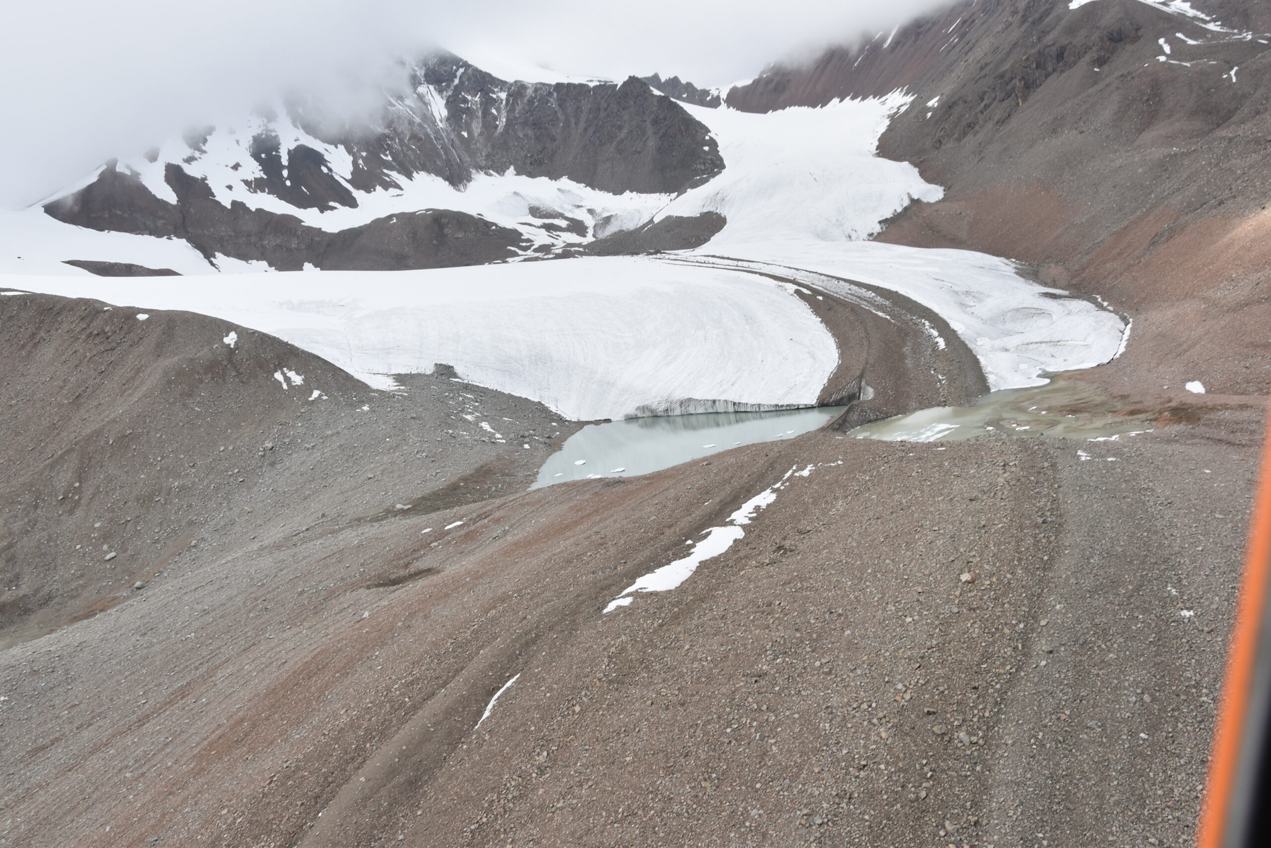
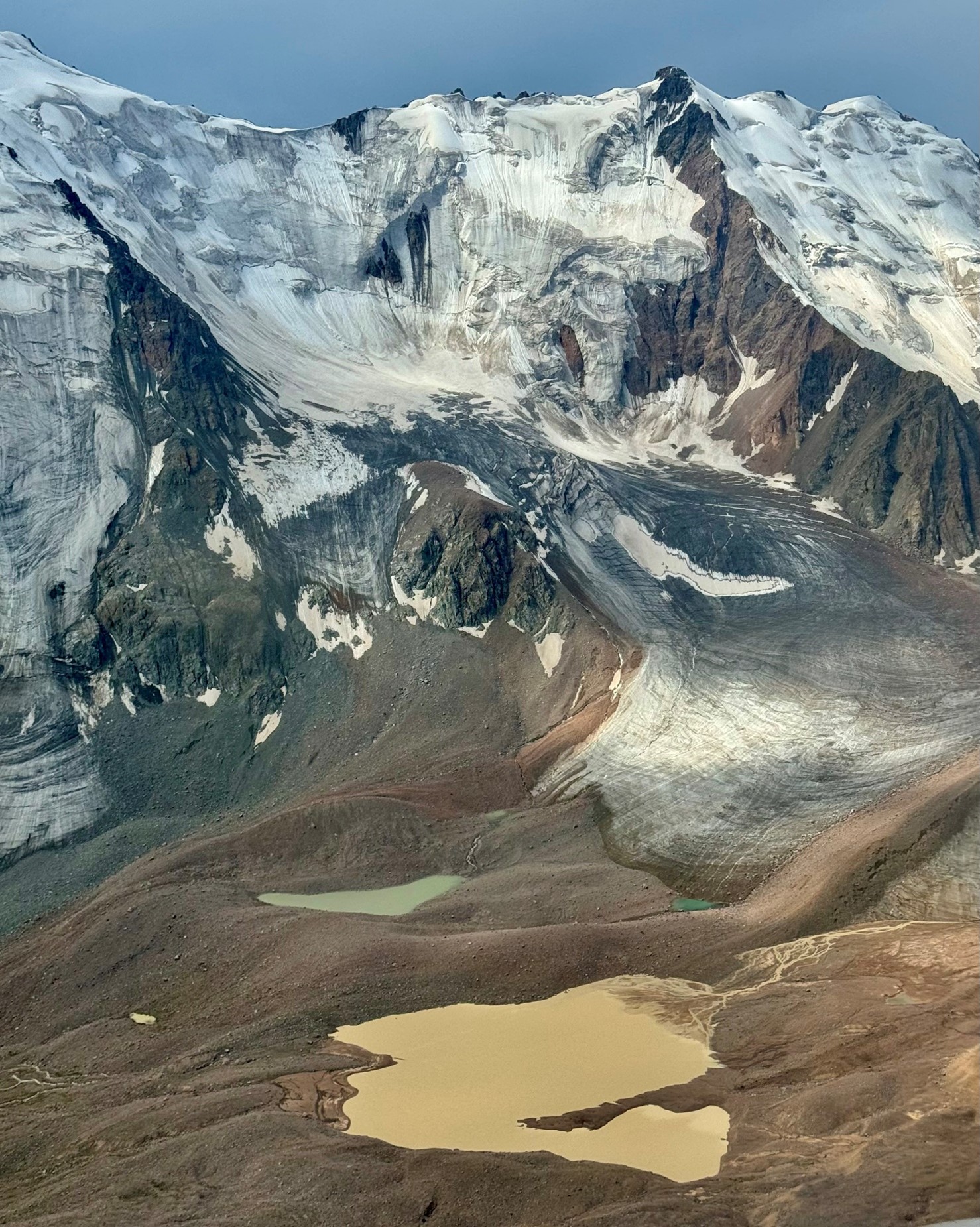
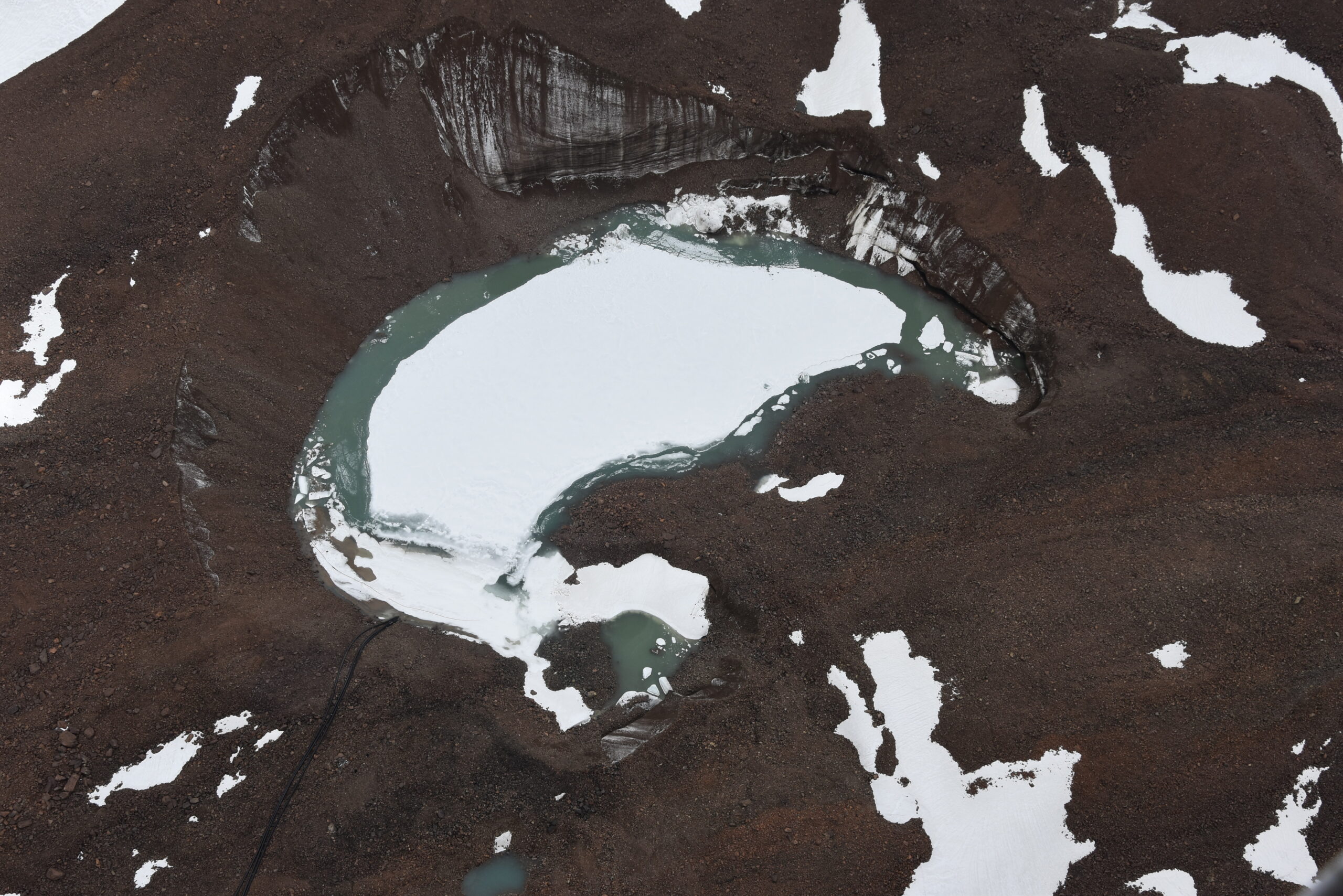
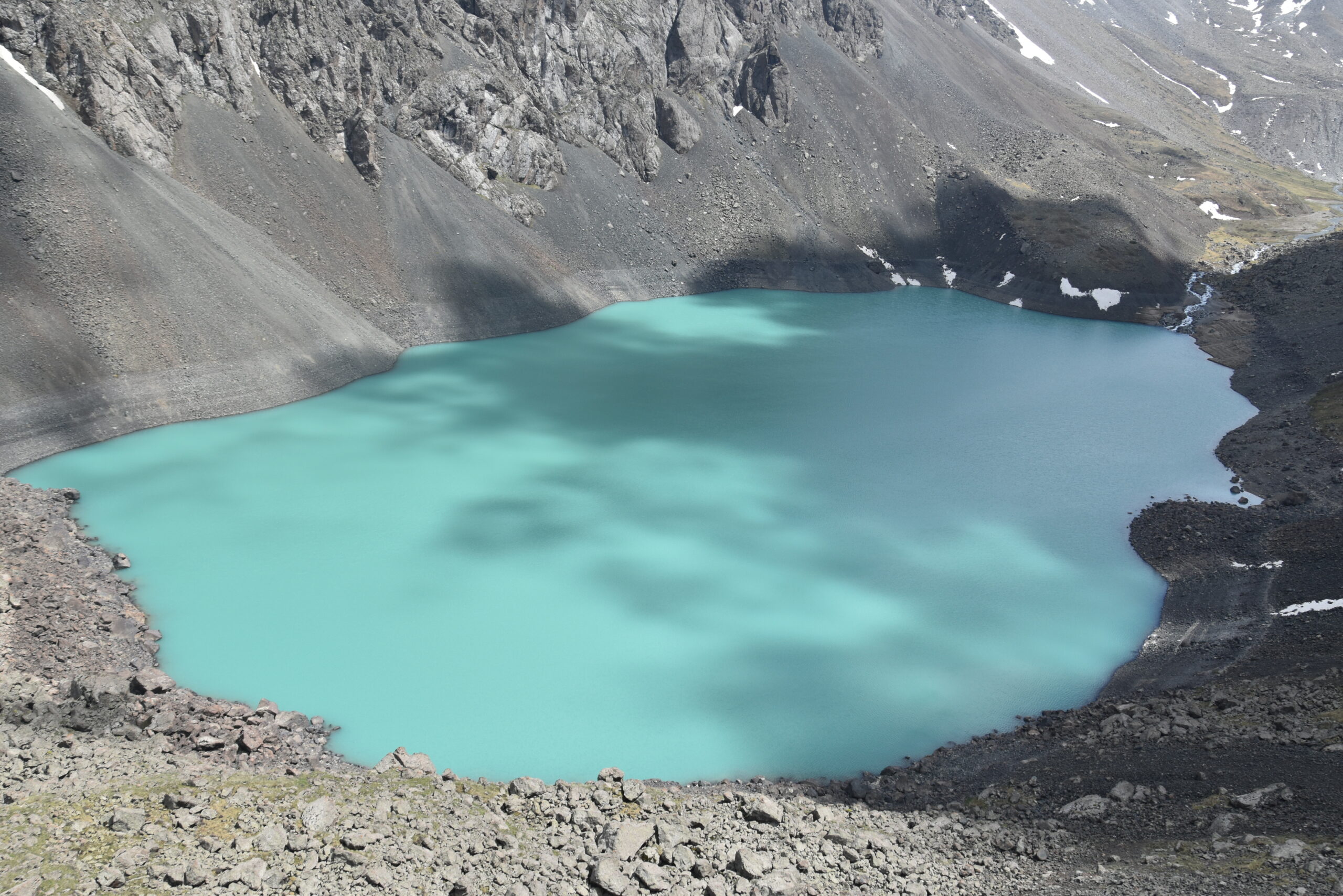
In the high-altitude zone, at 3000-3700 meters above sea level, there are moraine lakes that pose a potential mudflow threat. Nearly all of these lakes are of glacial origin. This zone contains 22 moraine-glacial lakes, with 7 of them representing the highest risk. These lakes are classified as first-category mudflow hazards. The river basin has 4 mudflow-prone areas that directly threaten about 92 structures, including settlements, communication lines, and agricultural lands.
Mudflows in the Talgar River Basin occur almost annually, with the most significant events recorded in 1921, 1940, 1947, 1950, 1960-1961, 1965-1967, 1970-1979, 1983-1984, 1988-1998, 2009-2010, 2014-2015, and 2023.
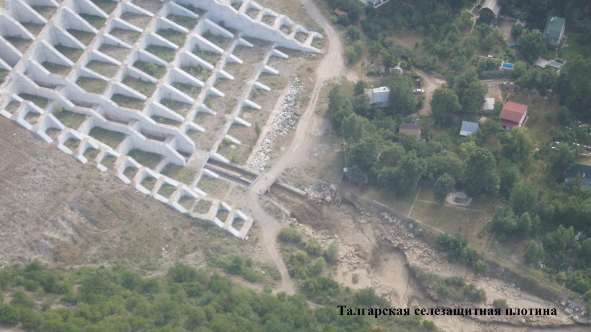
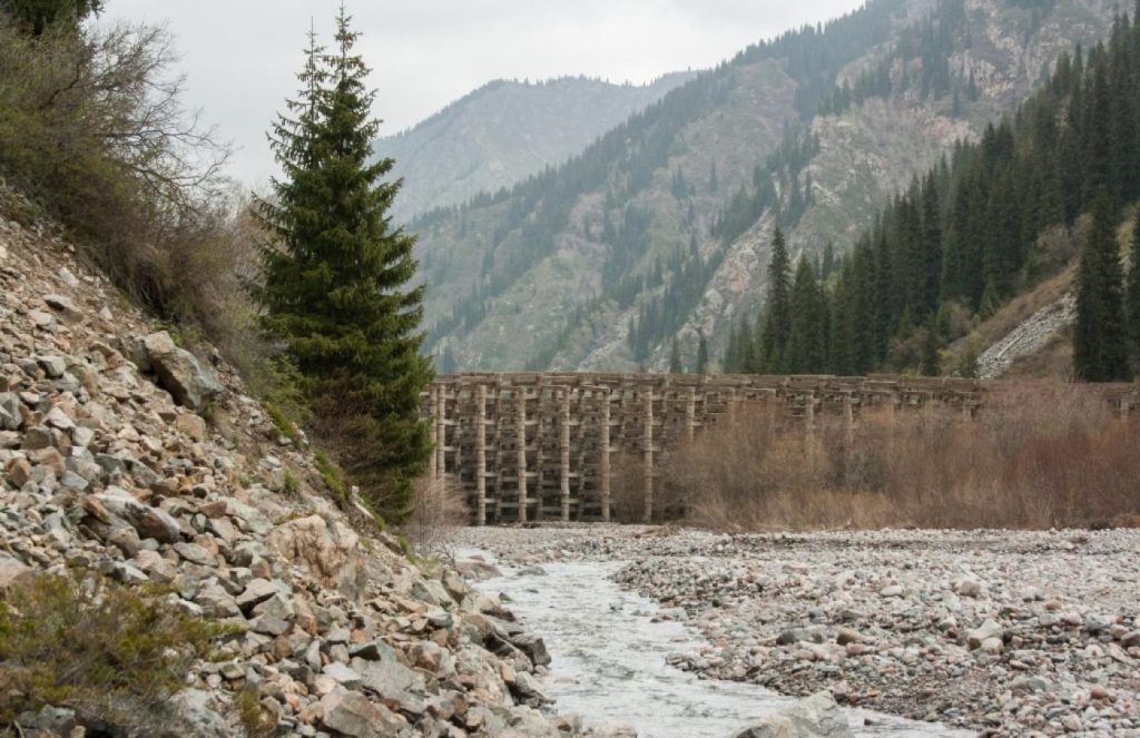
A mudflow-retaining dam has been constructed within the basin in 2005 and is classified as a Category II structure. The dam, built from gravelly-cobble soils of riverbed deposits, has the following geometric parameters: base width of 110 meters, crest width of 3-4 meters, height of 50 meters, and length (across the riverbed) of 400 meters. Total discharge capacity of the water-passing galleries: 76 m³/sec, threshold elevation for catastrophic mudflow discharge: 1,193 m, mudflow discharge height: 45 meters. Specialists from Kazselezashchita regularly conduct aerial and ground surveys of moraine-glacial lakes, evacuation channels, and mudflow masses, as well as preventive measures to reduce water levels in lakes to safe levels.
Near the southern outskirts of present-day Talgar, in the river basin, lies the Talgar settlement (8th–13th century), which is included in the UNESCO World Heritage List in Kazakhstan and the national list of historical and cultural monuments of republican significance. The site was inscribed as one of the properties along the Chang’an–Tian-Shan corridor of the Silk Roads.
Within the framework of the GLOFCA project, a concept and technical specification for a modern early warning system for glacial lake outbursts in the Talgar River basin were developed. The developed system includes monitoring of the state of three glacial lakes and an observation station in the middle part of the riverbed. This system will promptly inform Kazselezashchita about the fact of a glacial lake outburst. In addition, the сulvert well on the Talgar River dam is being reconstructed, which will improve the dissipation of the energy of the water flow discharged from the dam in order to prevent erosion of the river bed and maintain the integrity of the hydraulic structure.
With the support of the GLOFCA project, an assessment of the most dangerous glacial lakes in the Talgar River basin was carried out and vulnerability and impact assessment maps for communities from glacial lake outburst floods were compiled. These maps show which groups of people and objects are most at risk and what the consequences of glacial lake outburst floods may be. These maps help in decision-making aimed at risk reduction, emergency preparedness and ensuring effective evacuation and assistance to victims. Newly acquired knowledge and proposed measures are an important tool for decision-making in the field of emergency risk management and population safety.
Pilot site 2
The Yesik River Basin is classified as a Category 1 mudflow hazard area. The river basin’s catchment area covers 300 km², and the river is 98 km long. There are 49 glaciers in the upper reaches of the basin with a total area of 44.524 km².
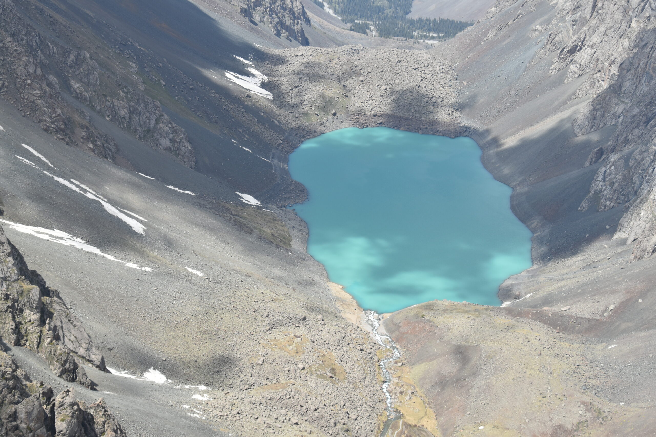
The high-altitude zone of the Yesik River basin contains 23 moraine-glacial lakes and 2 landslide-dammed lakes. Out of these, 8 lakes pose a threat of catastrophic outburst mudflows. The basin includes 5 particularly dangerous areas that threaten 36 structures, including residential areas, communication lines, agricultural lands, and infrastructure. The city of Yesik, surrounding rural districts, holiday villages, road bridges, and other critical objects are at risk.
In 1963, a mudflow destroyed part of a pioneer camp below the lake, an asphalt road, and a telephone line between the city of Yesik and Lake Yesik. The mudflow also damaged hydroelectric power station intake structures, houses of the local wine farm, and other economic objects. Approximately 200 buildings, including residential homes, were destroyed in total.
In 2003, a flood exceeding 30 m³/sec caused significant material damage, washing out road sections, bridge crossings, and power lines.
The Yesik River basin is equipped with 13 hydraulic structures: 10 low-pressure spillway dams, 1 stabilized riverbed within the city limits of Yesik, 1 complex of hydraulic structures at Lake Yesik, and 1 “Kremnevka” mudflow-retaining dam. Specialists from Kazselezashchita regularly conduct aerial and ground surveys of moraine-glacial lakes, evacuation channels, and mudflow masses, as well as preventive measures to reduce water levels in lakes to safe levels.
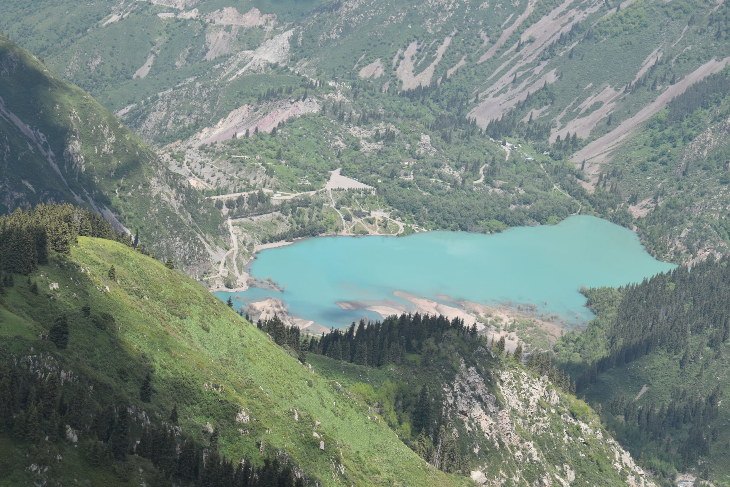
The Issyk burial mounds, located in the basin, were included in the UNESCO World Heritage Tentative List in Kazakhstan as part of the complex “Silk Roads: Prehistoric Period – Besshatyr, Boraldai, and Issyk Burial Sites.”
As in the Talgar River basin, in the Esik River basin, with the support of the GLOFCA project, the most dangerous glacial lakes were assessed and vulnerability and impact assessment maps from glacial lake outburst floods for communities were compiled. The new knowledge and proposed measures are an important tool for decision-making in the field of emergency risk management and ensuring public safety. In addition, within the framework of the GLOFCA project, repair and restoration work is being carried out on low-pressure dams on the Esik River. Low-Pressure Dams help regulate water flow, ensuring a stable level in the river, which is especially important in mountainous areas with uneven precipitation distribution. Dams can serve to protect against floods (including glacial lake outburst floods), smoothing out flood peaks and preventing flooding of residential and infrastructure facilities in coastal areas.